

Description
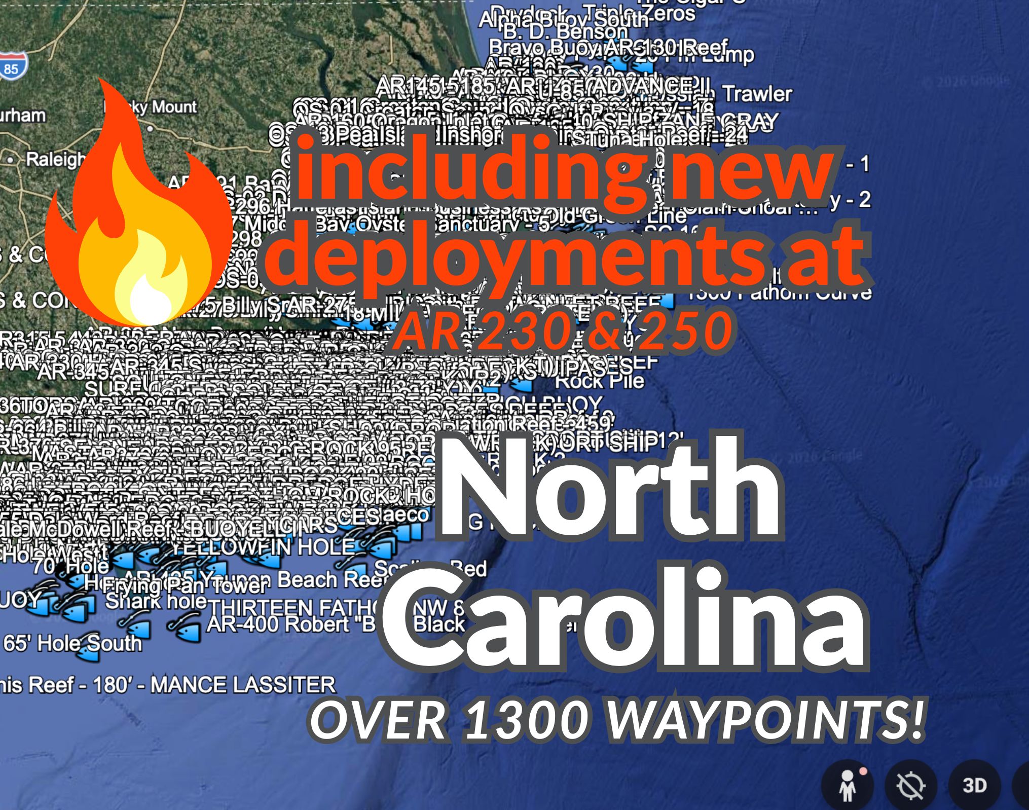
North Carolina GPS Fishing Spots Digital Download — over 1400 Waypoints
Including the newest artificial reef deployments made in spring of 2026 to AR 230 and AR 250!
Spend less time digging through public records and more time planning your next fishing trip.
This North Carolina GPS Fishing Spots bundle includes 1,308 offshore and inshore fishing waypoints organized into easy-to-use digital files. These points are based on publicly available reef, wreck, artificial reef, and marine structure information that has been cleaned, organized, and converted for convenient use.
This is a one-time purchase digital download. No subscription. No recurring fees. No “keep paying us forever or lose access” nonsense. Buy it once, download the files, and they’re yours to keep.
These are not Grandpa’s secret honey holes, and we are not selling anyone’s soul to the commies. These are publicly available fishing-related coordinates that have been gathered, cleaned up, formatted, and packaged so you do not have to spend hours tracking them down and converting them yourself.
What’s Included
This digital download includes:
1. GPX File
For use with many modern chartplotters and marine electronics, including many Garmin, Simrad, Lowrance, Humminbird, and other compatible units.
2. KMZ File
For viewing the waypoints in Google Earth.
3. CSV File
For opening, sorting, filtering, or editing in spreadsheet software such as Microsoft Excel, Google Sheets, Numbers, or similar programs.
4. Basic Instructions
Simple guidance to help you understand the files and begin using them.
Great For
This waypoint bundle is useful for:
Planning offshore and inshore fishing trips in North Carolina
Viewing potential reef, wreck, and structure locations before a trip
Loading compatible waypoints to many modern chartplotters
Exploring fishing areas in Google Earth
Keeping a spreadsheet copy of your waypoint data
Creating your own fishing plans based on publicly available marine structure data
File Compatibility
The included GPX file is commonly used by many modern marine electronics. While exact import steps vary by brand and model, GPX is a widely supported waypoint format.
The KMZ file can be opened in Google Earth so you can visually review the locations on a map before loading anything to a chartplotter.
The CSV file gives you a spreadsheet-friendly version of the data.
Important Reminder
These points are meant to help with fishing trip planning, but they are not a navigation safety product. Always use current charts, safe boating practices, local knowledge, and official regulations when navigating or fishing.
FAQ Section
FAQ’s
Is this a subscription?
No. This is a one-time purchase. Buy it once, download the files, and they’re yours to keep.
Are these private fishing spots?
No. These are not private honey holes or secret spots. The waypoints are based on publicly available reef, wreck, and offshore structure data published through state, county, and public marine records.
What file formats are included?
The bundle includes GPX, KMZ, and CSV files, along with basic instructions.
Will this work with my chartplotter?
The included GPX file is compatible with many modern Garmin, Simrad, Lowrance, Humminbird, and other marine electronics. Exact import steps may vary by brand and model.
Can I view the spots before loading them to a chartplotter?
Yes. The included KMZ file can be opened in Google Earth, and the CSV file can be opened in spreadsheet software.
Important Info Section
Important Notes
These waypoints are based on publicly available reef, wreck, and offshore structure information that has been cleaned, organized, and converted for convenient use.
Coordinates should always be used with good judgment, current charts, safe navigation practices, and local fishing regulations.
This is not a navigation safety product. Always verify water depth, obstructions, restricted areas, seasons, closures, and regulations before fishing or navigating to any location.


Reviews
There are no reviews yet.