
Description
Northwest Florida / Destin GPS Fishing Waypoints
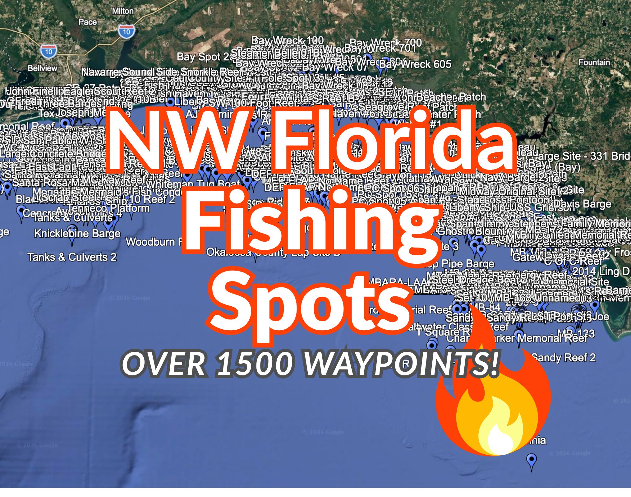
This Northwest Florida / Destin Panhandle GPS fishing package includes 1,581 unique fishing waypoint coordinates covering a wide stretch of Florida’s Gulf Coast and Panhandle waters.
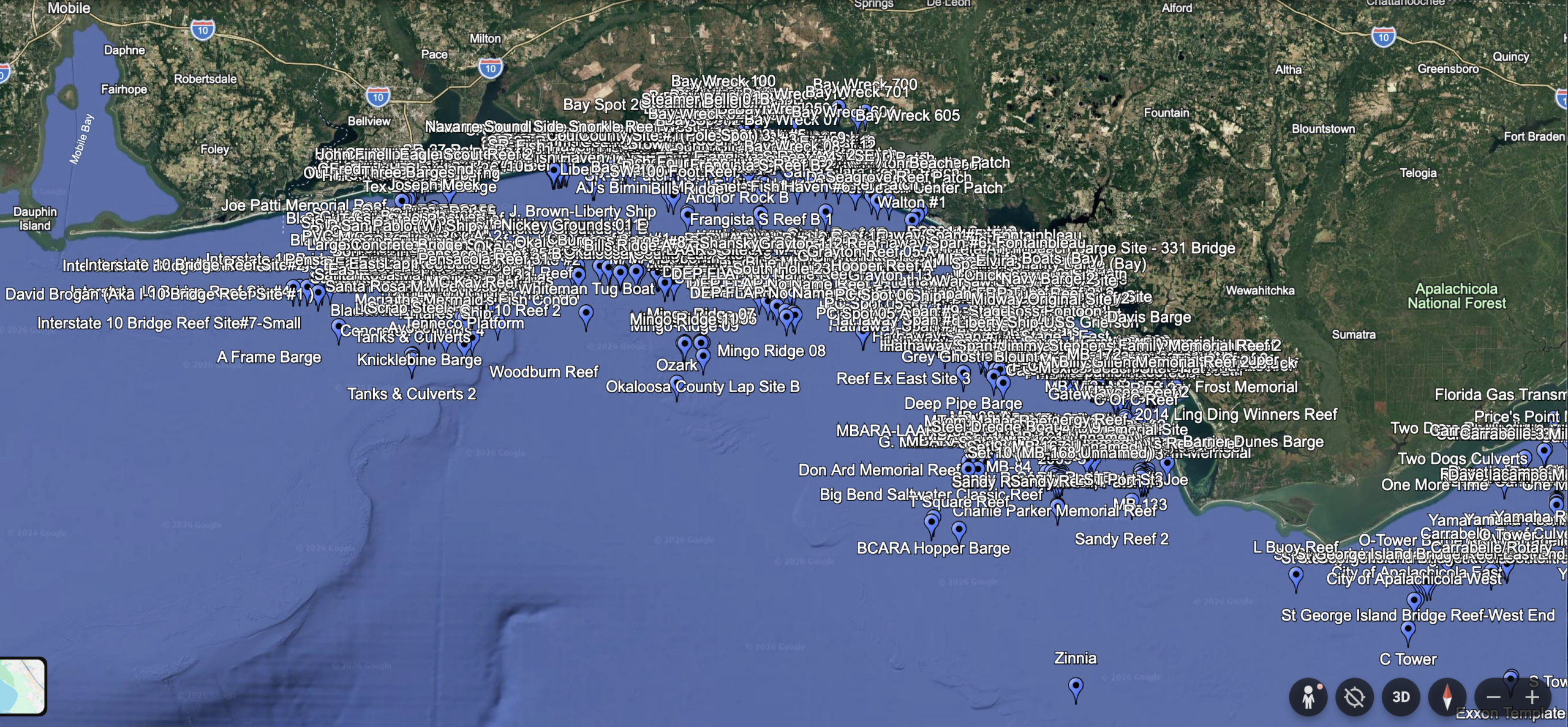
The set is designed for anglers looking for offshore and nearshore fishing structure across the Pensacola, Navarre, Destin, 30A, Panama City, Mexico Beach, Port St. Joe, and Apalachicola-area region.
These waypoints include a mix of artificial reefs, wrecks, barges, bridge material, reef modules, concrete structures, bay structure, hardbottom-style areas, and other fish-holding locations.
What’s Included
Your download includes:
- 1,581 unique GPS fishing coordinates
- GPX file for many GPS/chartplotter units
- KMZ file for Google Earth
- CSV spreadsheet for viewing, sorting, and backup
- Clean waypoint names for easier device import
File Formats Included
GPX
The GPX file is commonly used with many Garmin, Simrad, Lowrance, Furuno, Raymarine, and other marine GPS/chartplotter systems.
KMZ
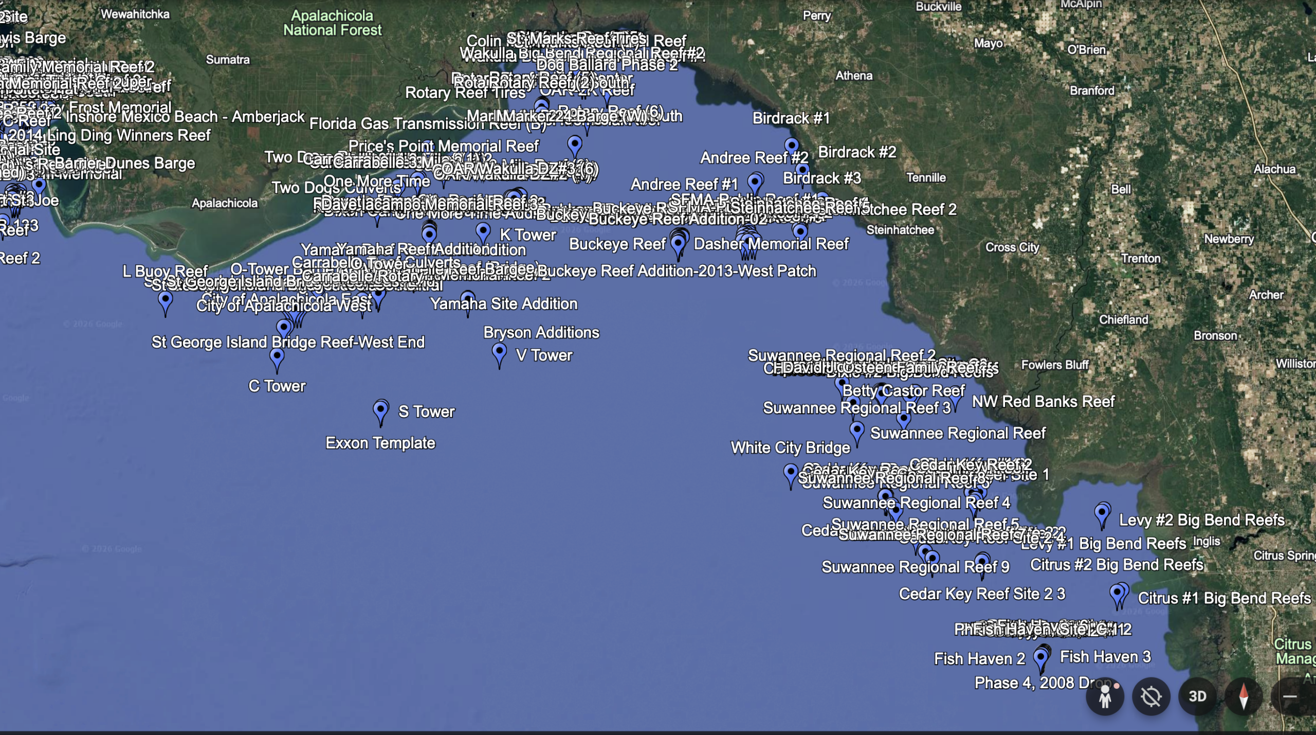
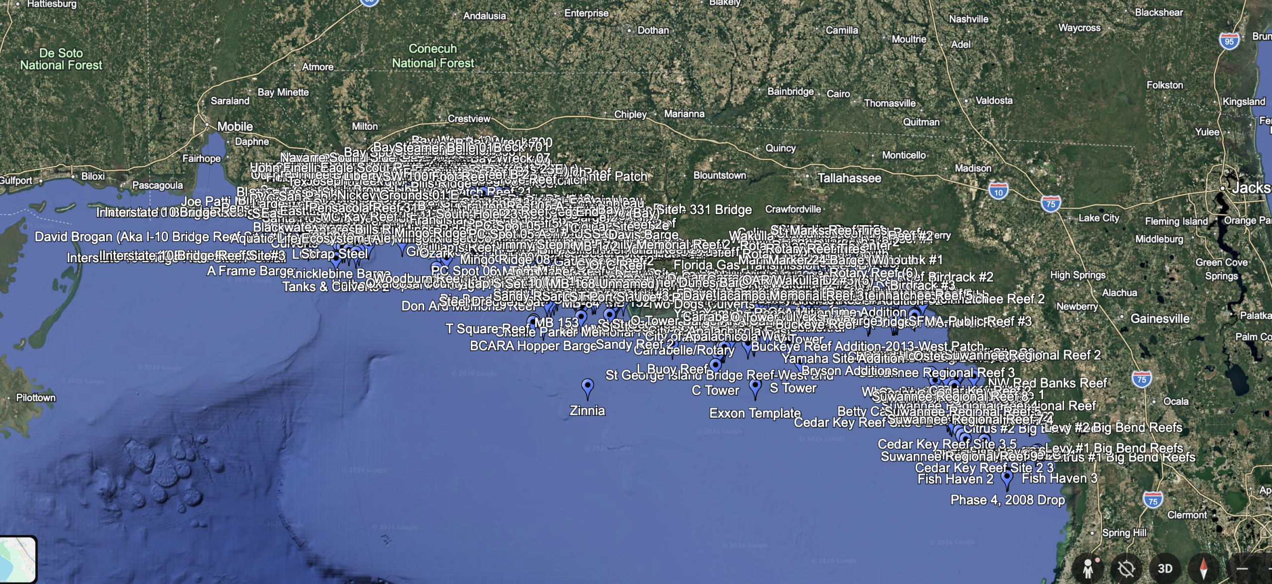
The KMZ file can be opened in Google Earth, allowing you to preview the waypoint locations visually on a satellite map.
CSV
The CSV file gives you a spreadsheet version of the waypoint list, including name, latitude, longitude, and description.
Area Coverage
This set focuses on Northwest Florida and the Florida Panhandle, including coverage around:
- Pensacola
- Escambia / Santa Rosa area waters
- Navarre
- Fort Walton Beach
- Destin
- Choctawhatchee Bay area
- 30A / Walton County waters
- Panama City
- Mexico Beach
- Port St. Joe
- Apalachicola-area Gulf waters
Types of Spots Included
This package includes many different types of fish-holding structure, including:
- Artificial reefs
- Public reef deployments
- Wrecks
- Barges
- Bridge rubble
- Concrete structures
- Reef balls and reef modules
- Culverts and pipe structures
- Tanks, vehicles, cable reels, and metal structure
- Bay structure
- Natural bottom and hardbottom-style locations
- Ledge and reef-style fishing areas
Great For
This waypoint package is useful for anglers targeting species such as snapper, grouper, amberjack, cobia, king mackerel, triggerfish, Spanish mackerel, sheepshead, flounder, trout, redfish, and other Gulf Coast species depending on season, depth, and location.
Are These Secret Fishing Spots?
No. These are not someone’s private numbers, secret honey holes, or Grandpa’s handwritten notebook from 1973.
This package is built from publicly available fishing-location style data, reef information, wreck and structure references, and cleaned coordinate sets organized into easy-to-use GPS files. The value is in the time saved: the research, cleaning, duplicate removal, formatting, and packaging have already been done for you.
Important Notes
Fishing conditions change. Reefs and wrecks may shift, settle, deteriorate, become buried, or fish differently depending on season, water clarity, pressure, bait, tides, and weather.
Always use good seamanship, verify routes and depths, and do not rely on waypoint files as your only source of navigation information.
This is a digital download product. No physical card is shipped unless purchased separately or specifically arranged.
Personal Use Only
This GPS waypoint package is licensed for personal, private use only by the original purchaser. The files, coordinates, waypoint names, descriptions, and related data may not be copied, reproduced, redistributed, resold, shared, uploaded, repackaged, or used for any commercial purpose without written permission.
Purchase of this product gives you the right to download and use the files on your own personal GPS/chartplotter devices and mapping software. It does not grant permission to distribute the files or create derivative waypoint products, maps, databases, websites, apps, or other commercial materials from the data.

Reviews
There are no reviews yet.