
Description
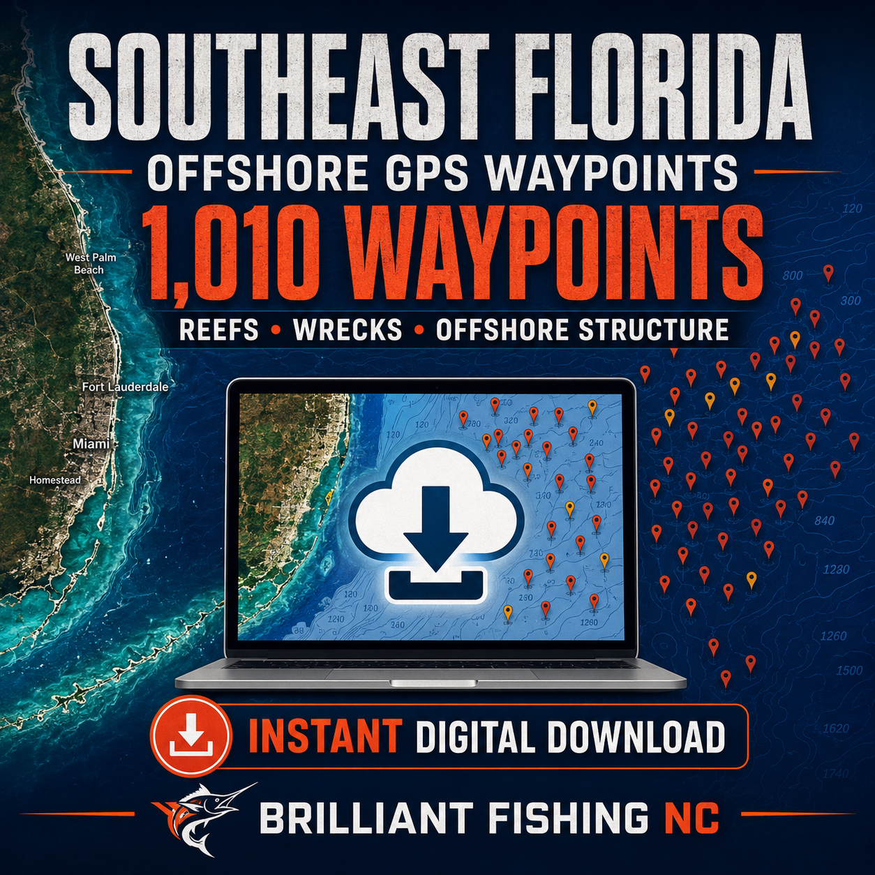
1,010 Southeast Florida Fishing Waypoints in One Organized File Set
Spend less time searching through scattered reef lists, old coordinate sheets and separate regional databases—and more time exploring Southeast Florida’s offshore structure.
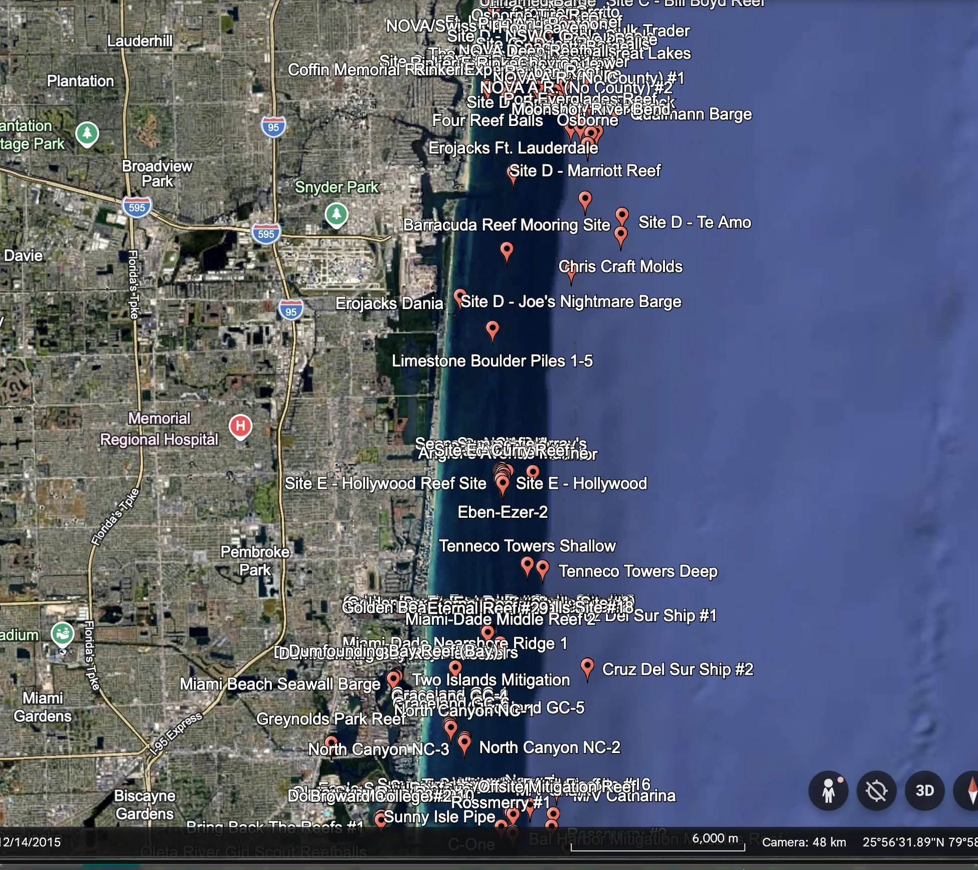
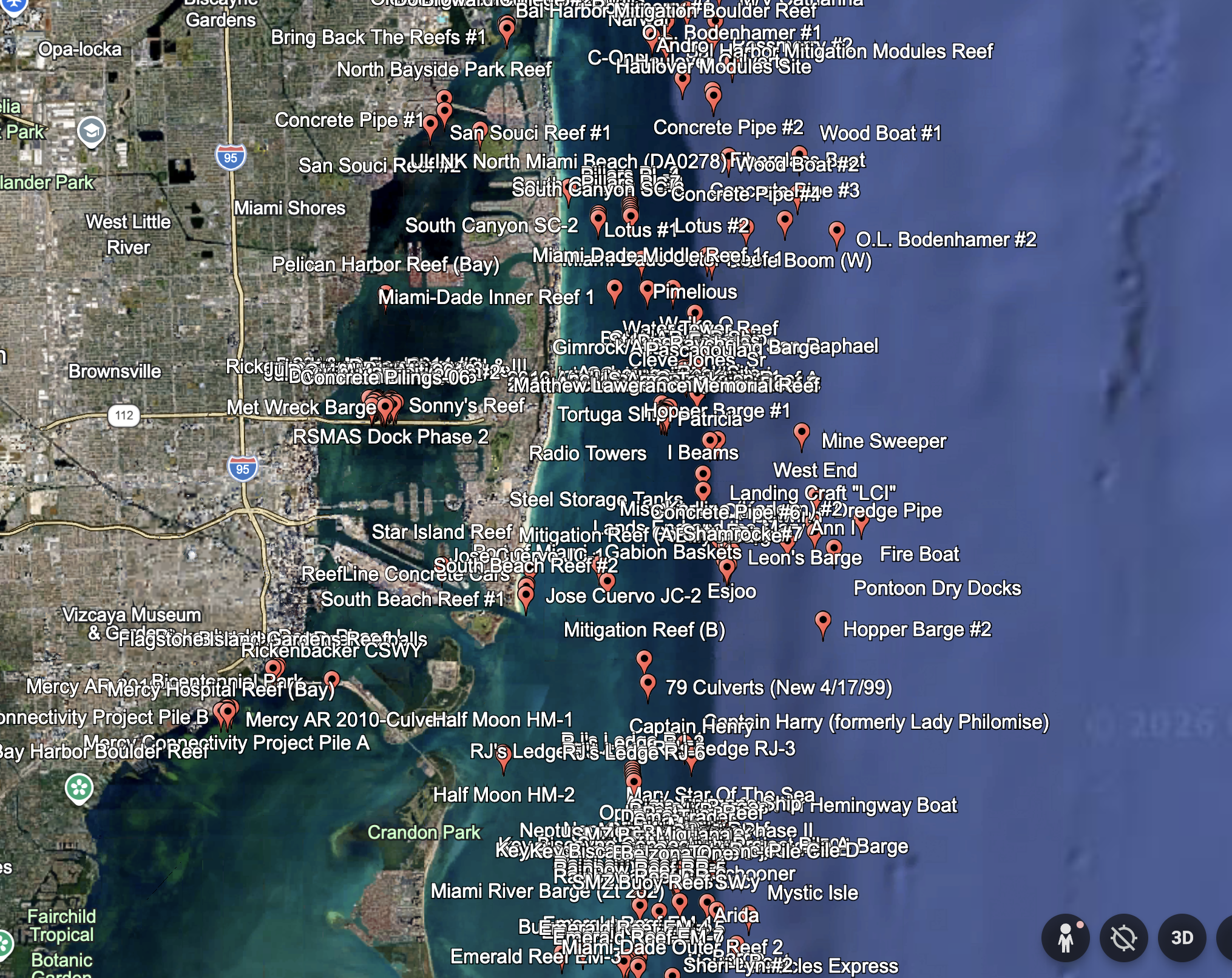
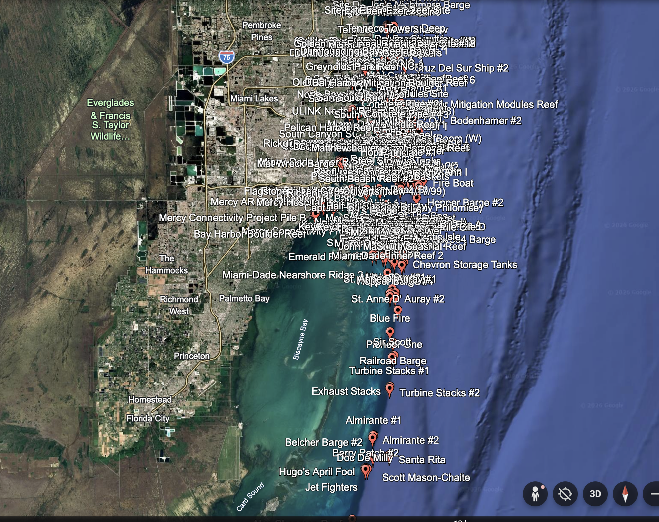
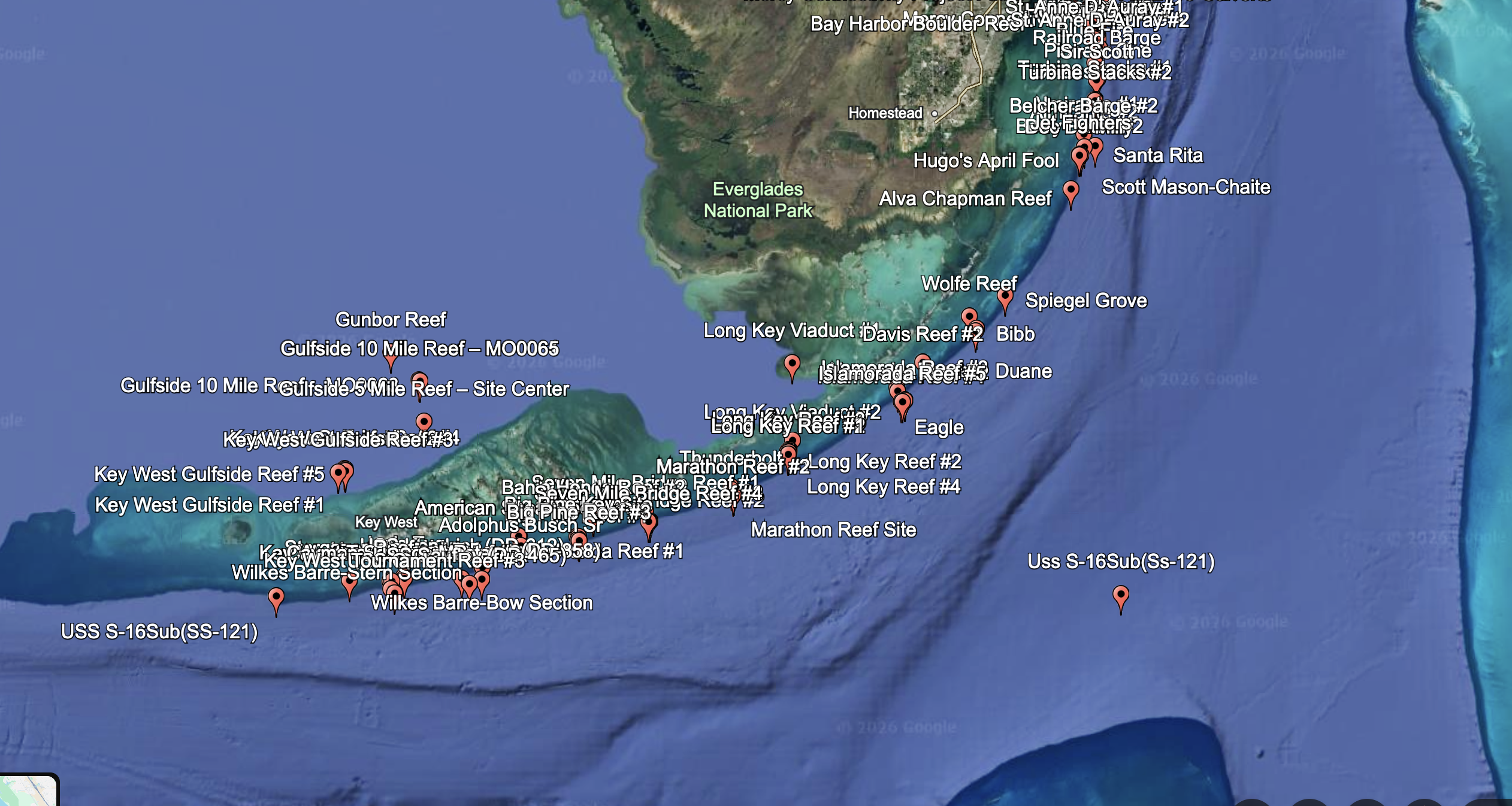
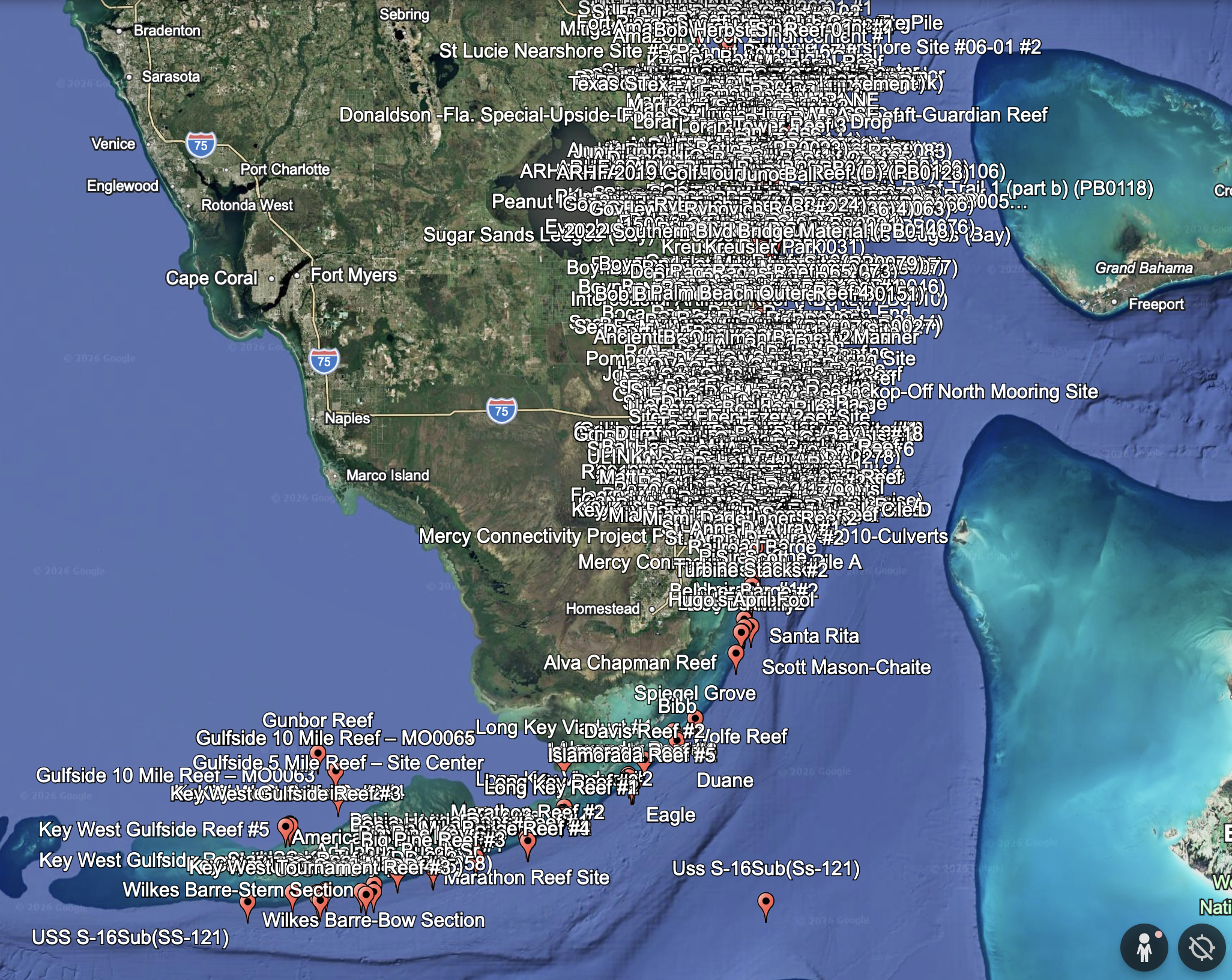
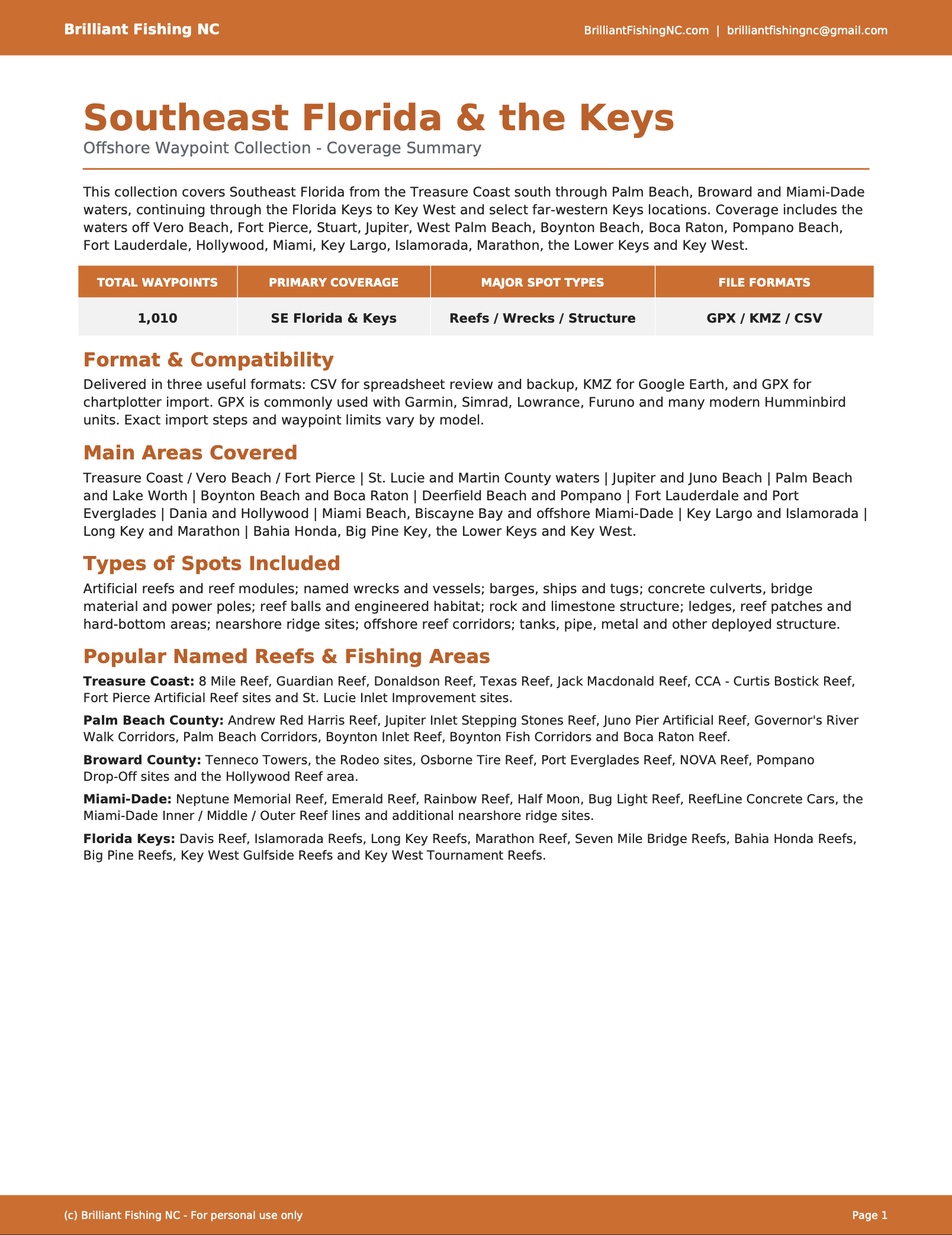
This digital download contains 1,010 unique fishing waypoint locations, organized into one clean Southeast Florida master file. Coverage begins around the Fort Pierce and St. Lucie County area and continues south through Martin County, Palm Beach County, Broward County, Miami-Dade County and the Florida Keys to Key West.
The set includes a wide range of artificial structure, natural reef habitat and named offshore fishing areas.
Geographic Areas Covered
The waypoint set includes locations in and around:
- Fort Pierce and St. Lucie County
- Hutchinson Island
- Stuart and Martin County offshore waters
- Jupiter and Jupiter Inlet
- Palm Beach and West Palm Beach
- Lake Worth
- Boynton Inlet
- Boca Raton
- Deerfield Beach
- Pompano Beach
- Fort Lauderdale
- Dania Beach
- Hollywood
- Miami Beach
- Key Biscayne and Biscayne-area waters
- Miami-Dade offshore waters
- Islamorada
- Marathon
- Bahia Honda
- Big Pine Key
- American Shoal
- Key West
- Atlantic-side and Gulfside Florida Keys reef areas
This is a broad regional collection rather than a small single-county reef list.
Types of Locations Included
The 1,010-point database contains a mixture of:
- Artificial reef sites
- Named wrecks and submerged vessels
- Ships, tugs and barges
- Bridge spans and bridge material
- Concrete structures and secondary-use concrete
- Culverts, pipes and prefabricated reef modules
- Reef balls and specialty reef structures
- Limestone rock and boulder deployments
- Natural reef reference locations
- Patch reefs
- Reef ridges and terraces
- Ledges and drop-off areas
- Hardbottom and mixed reef habitat references
- Mooring-buoy reef systems
- Nearshore and offshore reef sites
- Tanks, towers, cars and other specialty structure placements
- Memorial reefs and fishing-foundation projects
Named natural reef and mooring areas include locations associated with systems such as Rainbow Reef, Emerald Reef, Graceland, North and South Canyon, RJ’s Ledge, Anglin’s Ledge, The Caves, Barracuda Reef and the Boca Raton Patch Reef area.
The Florida Keys portion includes a mix of named reefs, wrecks, artificial reef deployments and broader Atlantic-side and Gulfside reef areas.
Different Types of Coordinates
Not every waypoint represents the same type of feature.
Some coordinates mark:
- A precise artificial reef deployment
- An individual wreck, vessel or barge
- A specific pile of concrete, rock or bridge material
- A reef-ball or module deployment
- A named natural reef
- A mooring anchor or reef-system reference position
- A permanent natural-reef habitat reference
- The center or endpoint of a broader reef area
Some natural reefs, patch reefs, ledges and hardbottom areas cover considerably more bottom than a single GPS pin. These points should be used as starting locations for exploring the surrounding structure with sonar.
Carefully Combined and Cleaned
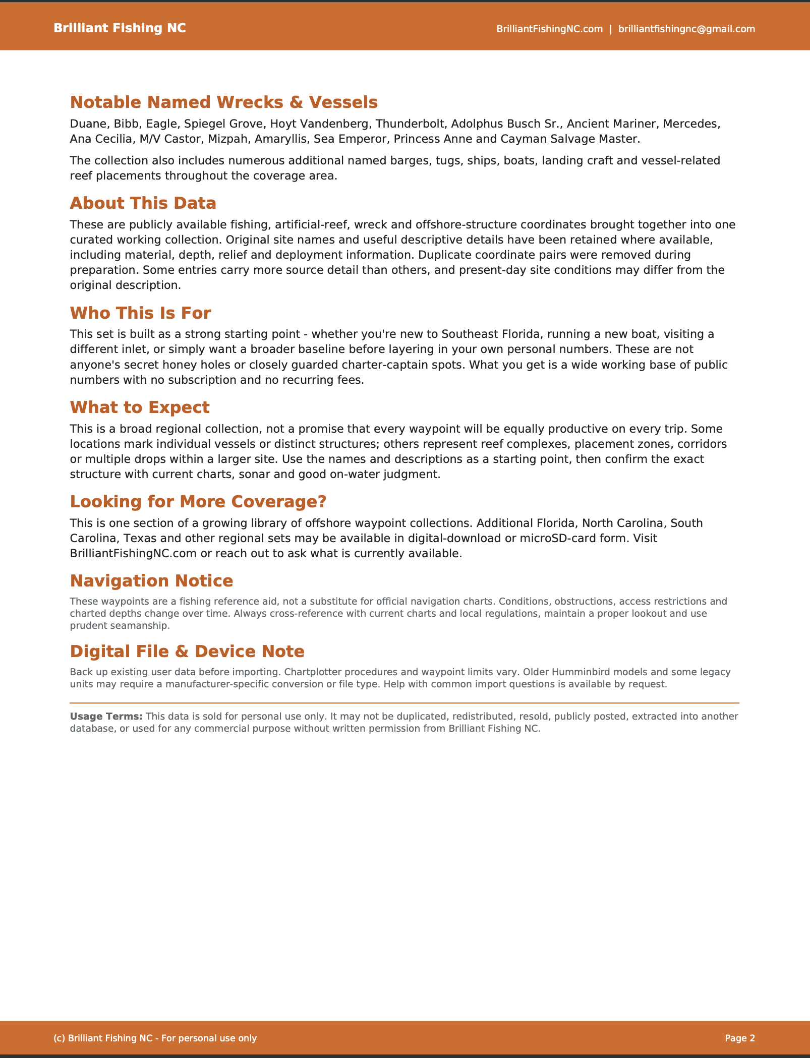
This project was assembled by combining multiple public reef, wreck, deployment, habitat and offshore structure records into one usable regional product.
The completed database was:
- Limited to Southeast Florida and the Florida Keys
- Merged into one master file
- Checked for exact coordinate duplicates
- Renamed where necessary for clearer chartplotter display
- Exported in three commonly used waypoint formats
The final product contains 1,010 unique coordinates.
This is not somebody’s private black book, Grandpa’s secret grouper numbers or a collection of guaranteed honey holes. It is a carefully researched and organized compilation of publicly documented reefs, wrecks, deployments and habitat references that would otherwise require considerable time to locate and assemble.
File Formats Included
GPX
Use the GPX file with compatible marine GPS and chartplotter systems.
Many Garmin, Lowrance, Simrad and other modern units support GPX waypoint imports. Compatibility and import procedures vary by model.
KMZ
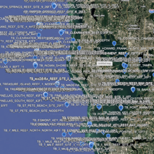
Open the KMZ file in Google Earth to:
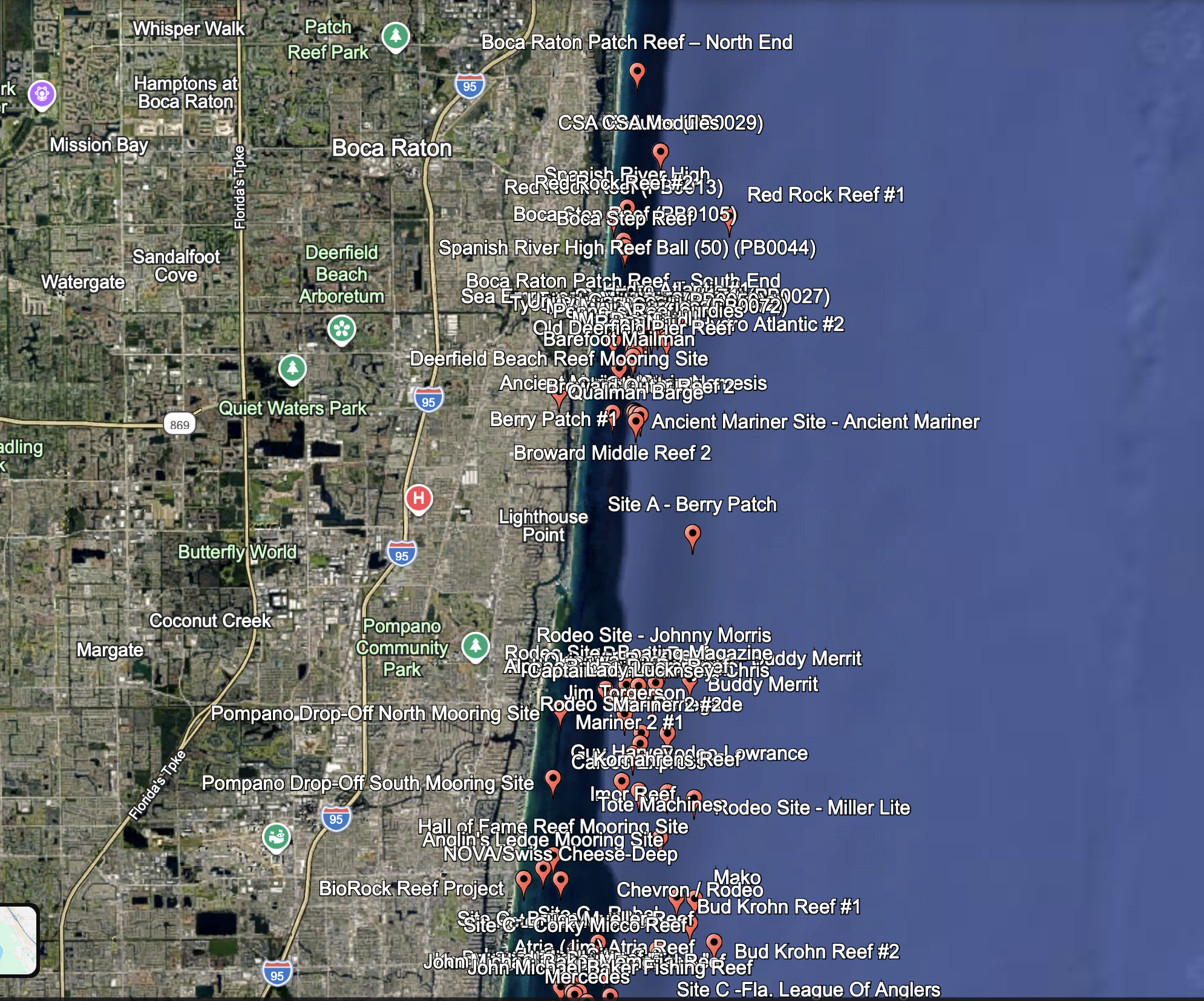
- View the full collection on a map
- Explore the geographic coverage
- Compare waypoint locations
- Plan fishing trips
- Review locations before loading them onto a chartplotter
CSV
The CSV file provides a spreadsheet-friendly backup containing:
- Waypoint name
- Latitude
- Longitude
- Description
It can be opened in Excel, Google Sheets and other spreadsheet or waypoint-management programs.
Digital Download Only
This listing is for a digital download.
No microSD card or physical product will be mailed with this purchase. After checkout, download the ZIP file, extract its contents and select the appropriate format for your equipment.
One-Time Purchase
The price is $125.
There is:
- No subscription
- No monthly fee
- No recurring charge
- No membership required
Buy it once, download the files and keep them.
Important Notes
Waypoint accuracy and feature type vary according to the underlying record. Some locations represent precise deployment coordinates, while others mark reef centers, monitoring locations, mooring areas or broader habitat zones.
Artificial reef material may settle, shift, deteriorate or become partially buried over time. Mooring buoys may also be moved or replaced.
Always:
- Verify compatibility with your GPS or chartplotter
- Maintain a backup of your original waypoints
- Review current nautical charts
- Use sonar to locate the actual structure
- Watch water depth, weather and sea conditions
- Follow all applicable fishing and boating regulations
These waypoints are provided for fishing and trip-planning purposes. They are not a substitute for official navigation charts or safe boating practices.
Frequently Asked Questions
How many waypoints are included?
The set contains 1,010 unique Southeast Florida fishing waypoints.
What area does the file cover?
Coverage begins around Fort Pierce and St. Lucie County and continues south through Martin, Palm Beach, Broward and Miami-Dade counties. It also includes extensive Florida Keys coverage through Key West.
Are the Florida Keys included?
Yes. The set includes locations around Islamorada, Marathon, Bahia Honda, Big Pine Key, American Shoal, Key West and other Atlantic-side and Gulfside reef areas.
What types of fishing spots are included?
The database includes artificial reefs, natural reef references, wrecks, ships, tugs, barges, concrete structures, bridge spans, culverts, reef balls, rock and boulder sites, ledges, patch reefs, mooring areas and other offshore structure.
Are all 1,010 coordinates exact structure locations?
Many are precise deployment or wreck coordinates. Others represent named reef systems, mooring locations, natural reef references or the center of a larger habitat area.
Use the points as starting locations and search the surrounding area with sonar.
Are these private or secret fishing spots?
No. The collection was built from publicly documented reef, wreck, habitat and deployment information.
The value of the product is in the research, cleaning, organization, deduplication and conversion of scattered information into one usable file set.
Will these files work with my chartplotter?
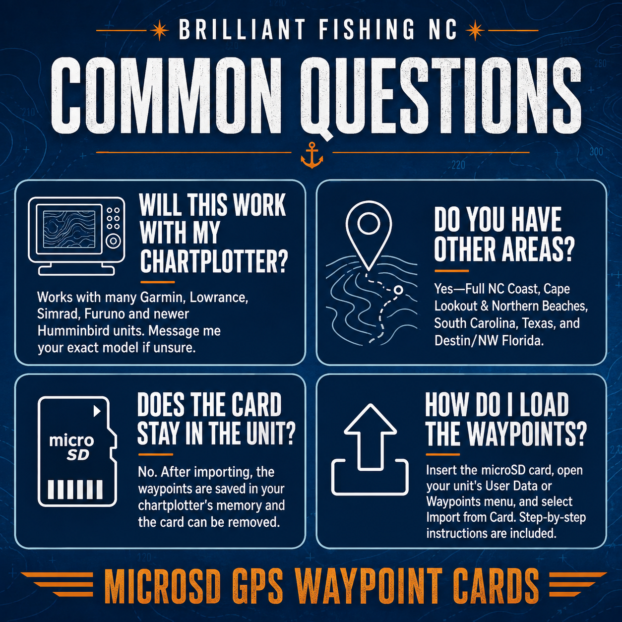
The GPX file works with many modern Garmin, Lowrance, Simrad and other chartplotters that support GPX waypoint imports.
Compatibility varies by model. Some older Humminbird units may require waypoint conversion before importing.
Can I view the locations before loading them onto my GPS?
Yes. Open the included KMZ file in Google Earth to review the complete waypoint collection.
Is a physical microSD card included?
No. This product is an instant digital download. No physical card will be shipped.
Is this a subscription?
No. It is a one-time purchase with no monthly fees or recurring charges.
Personal Use Only
This GPS waypoint package is licensed for personal, private use only by the original purchaser. The files, coordinates, waypoint names, descriptions, and related data may not be copied, reproduced, redistributed, resold, shared, uploaded, repackaged, or used for any commercial purpose without written permission.
Purchase of this product gives you the right to download and use the files on your own personal GPS/chartplotter devices and mapping software. It does not grant permission to distribute the files or create derivative waypoint products, maps, databases, websites, apps, or other commercial materials from the data.
Reviews
There are no reviews yet.