
Description
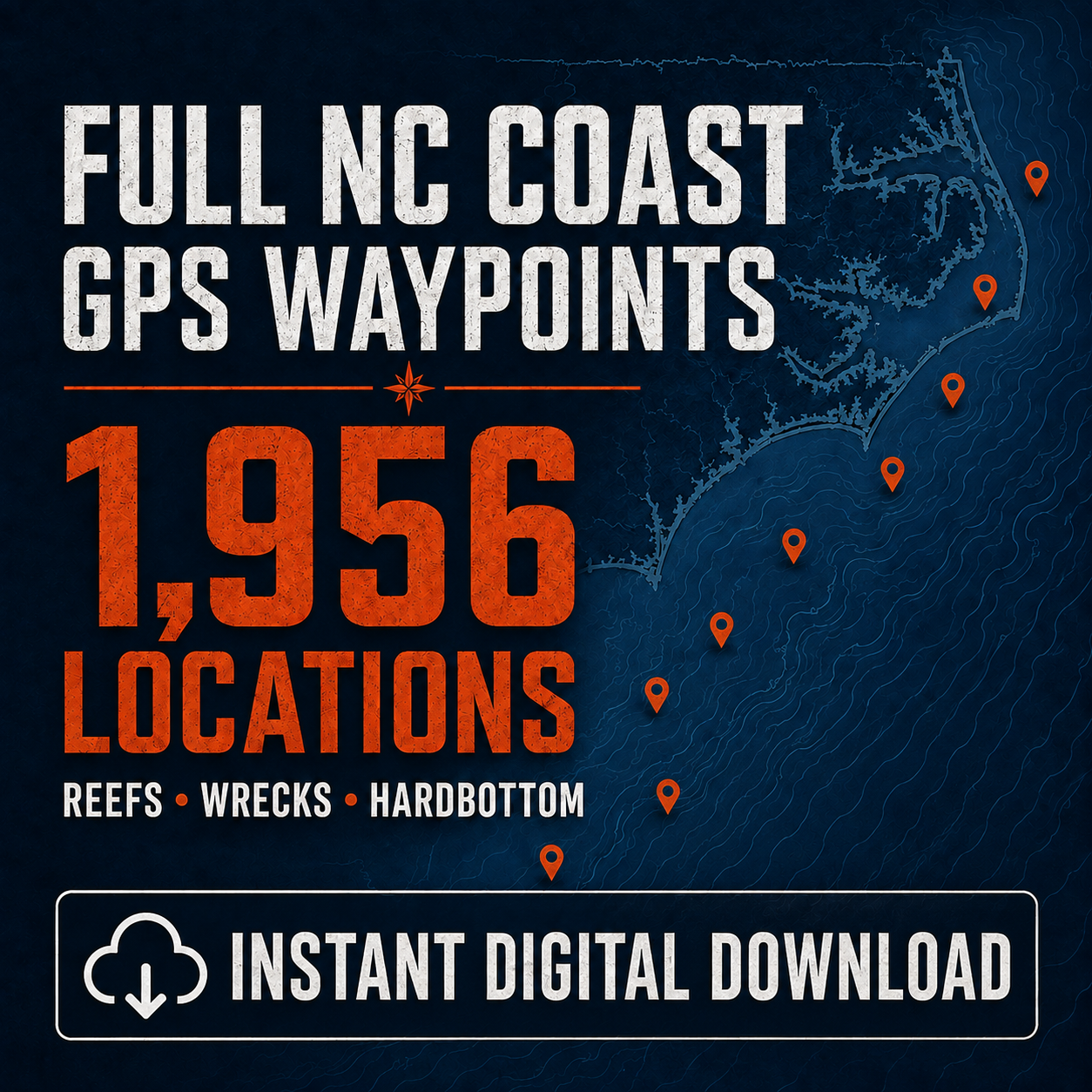
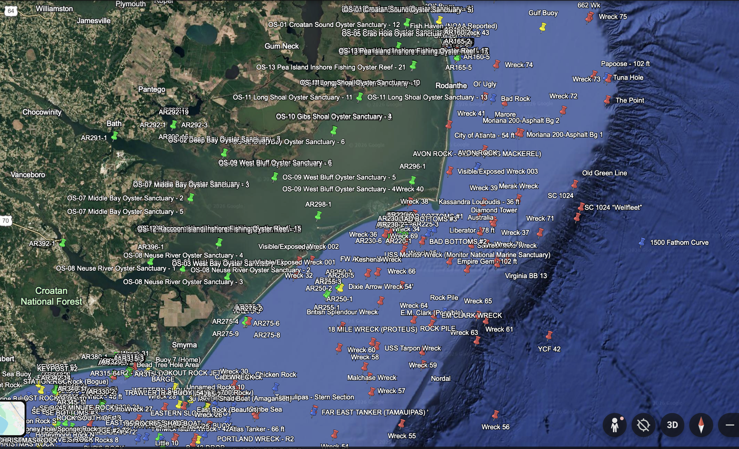
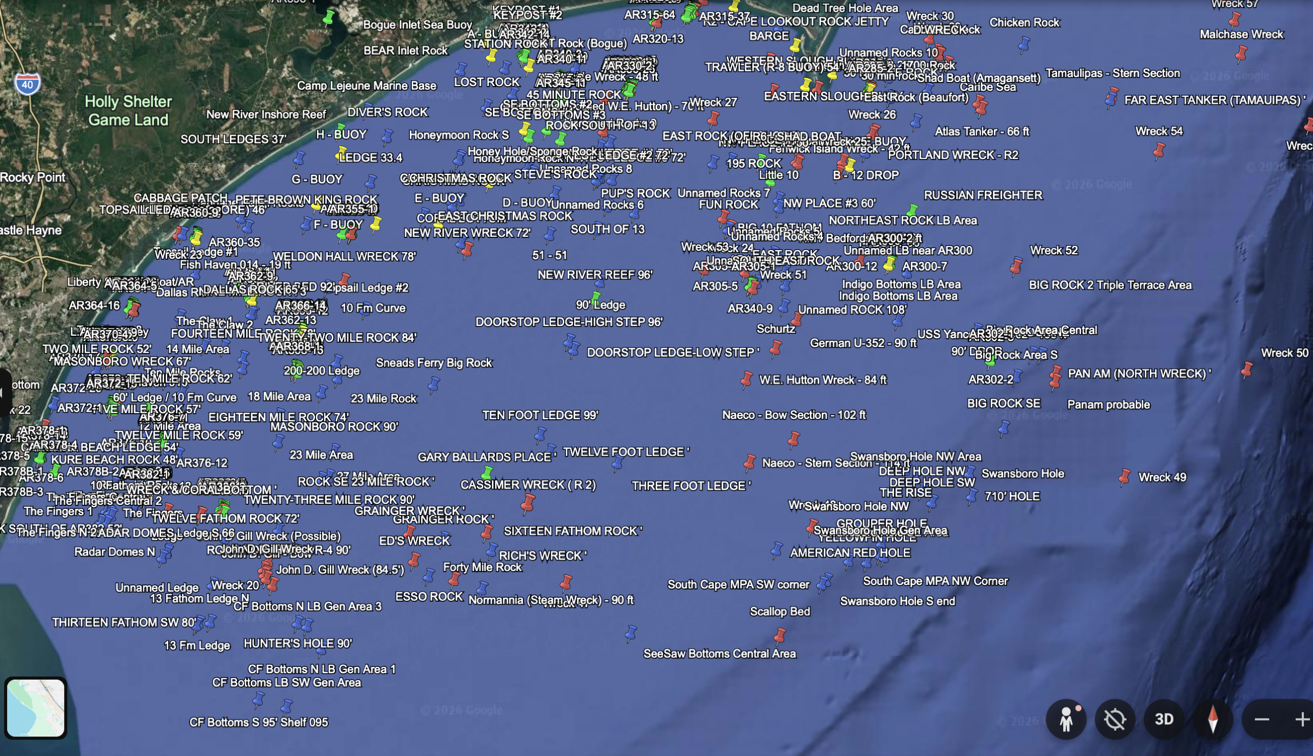
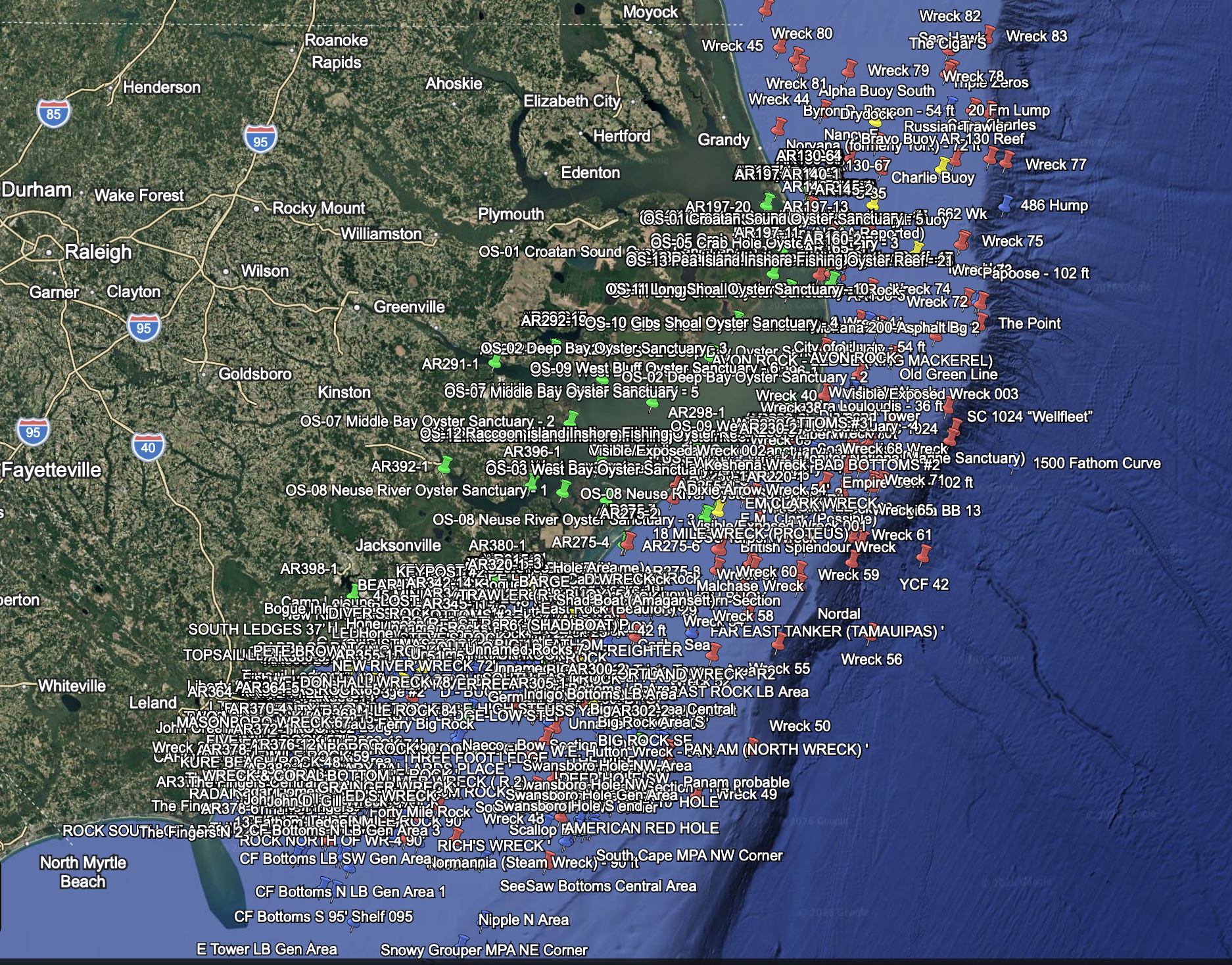
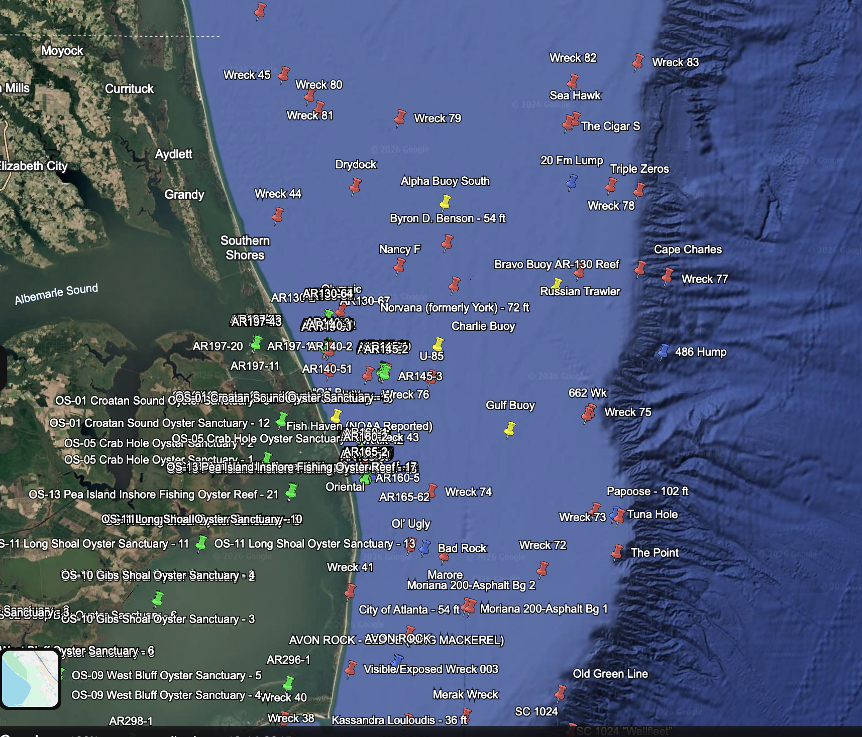
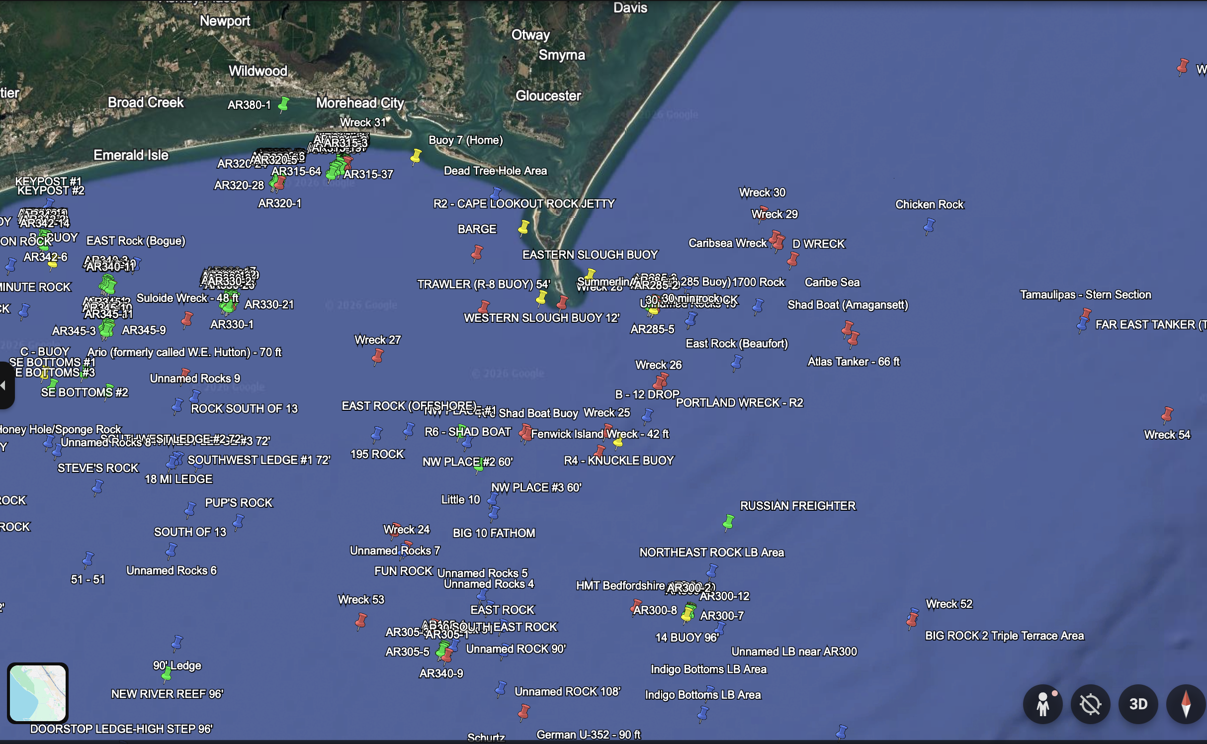
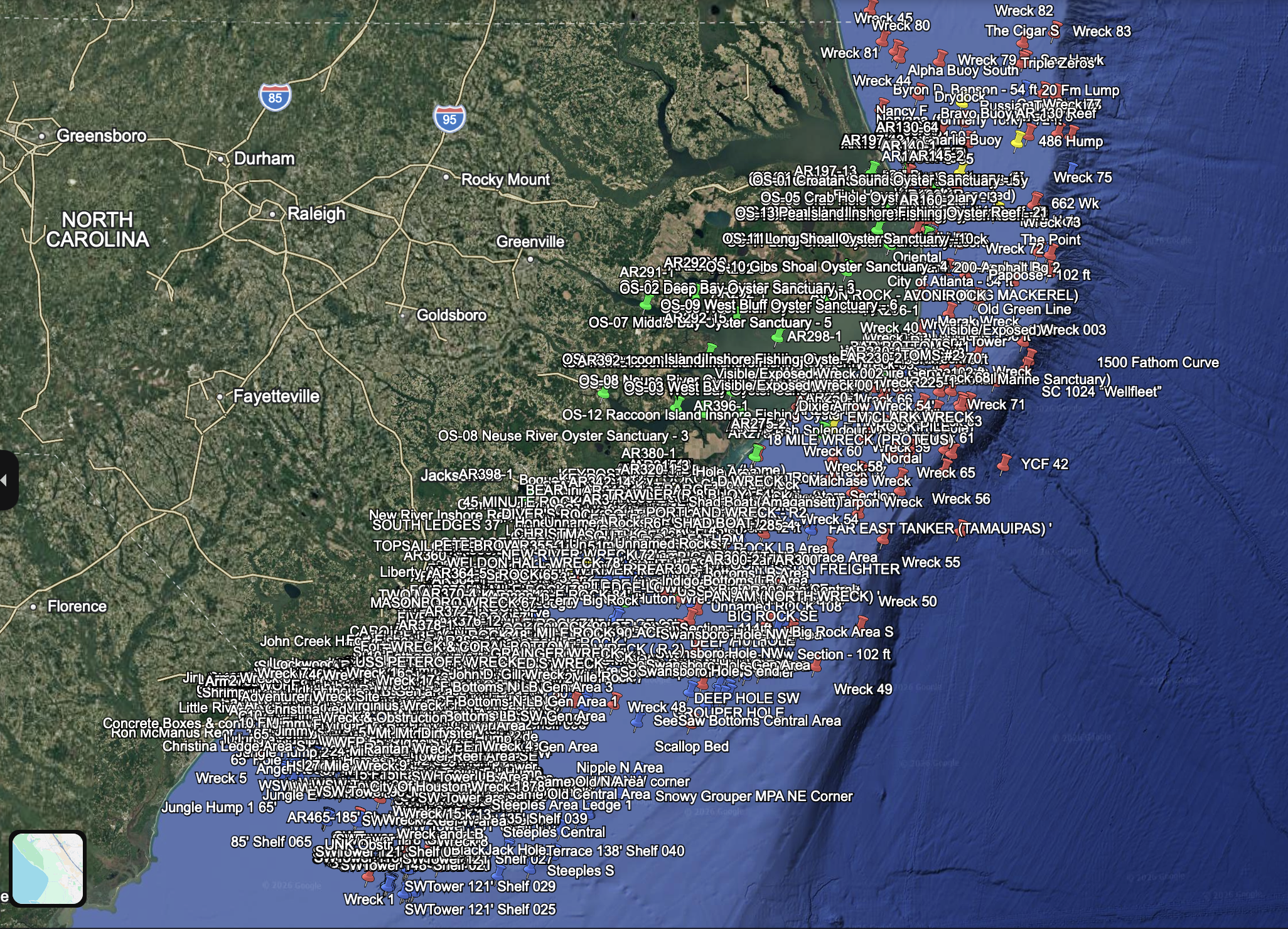
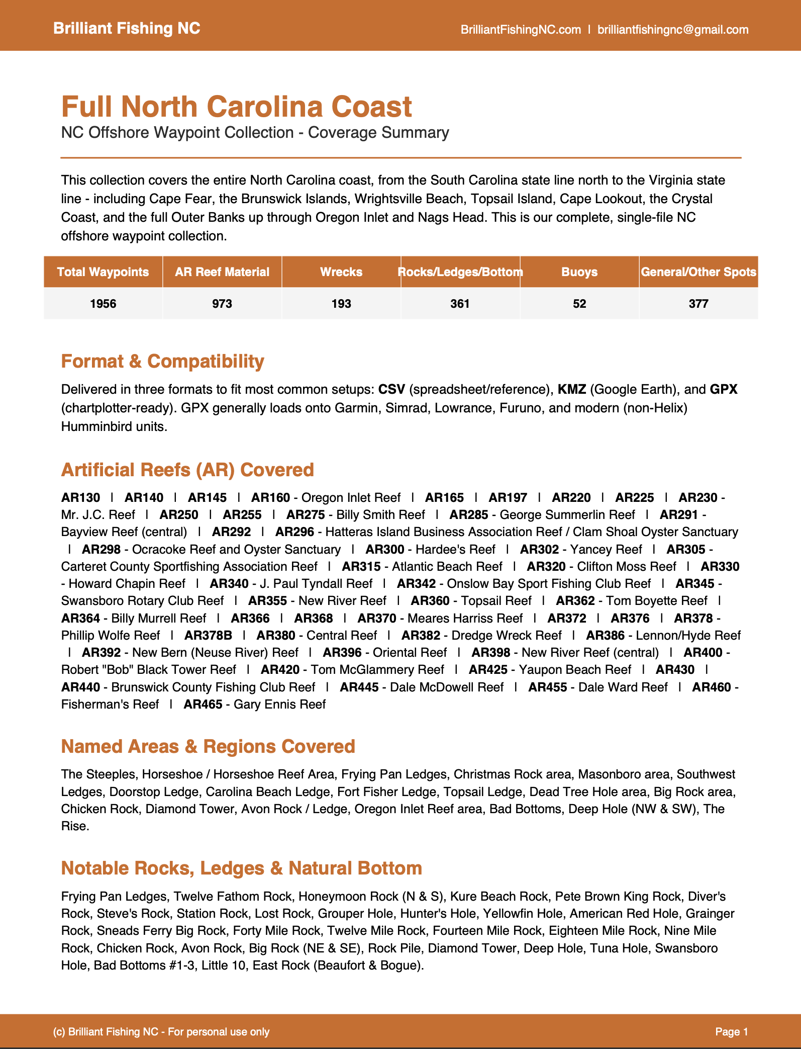
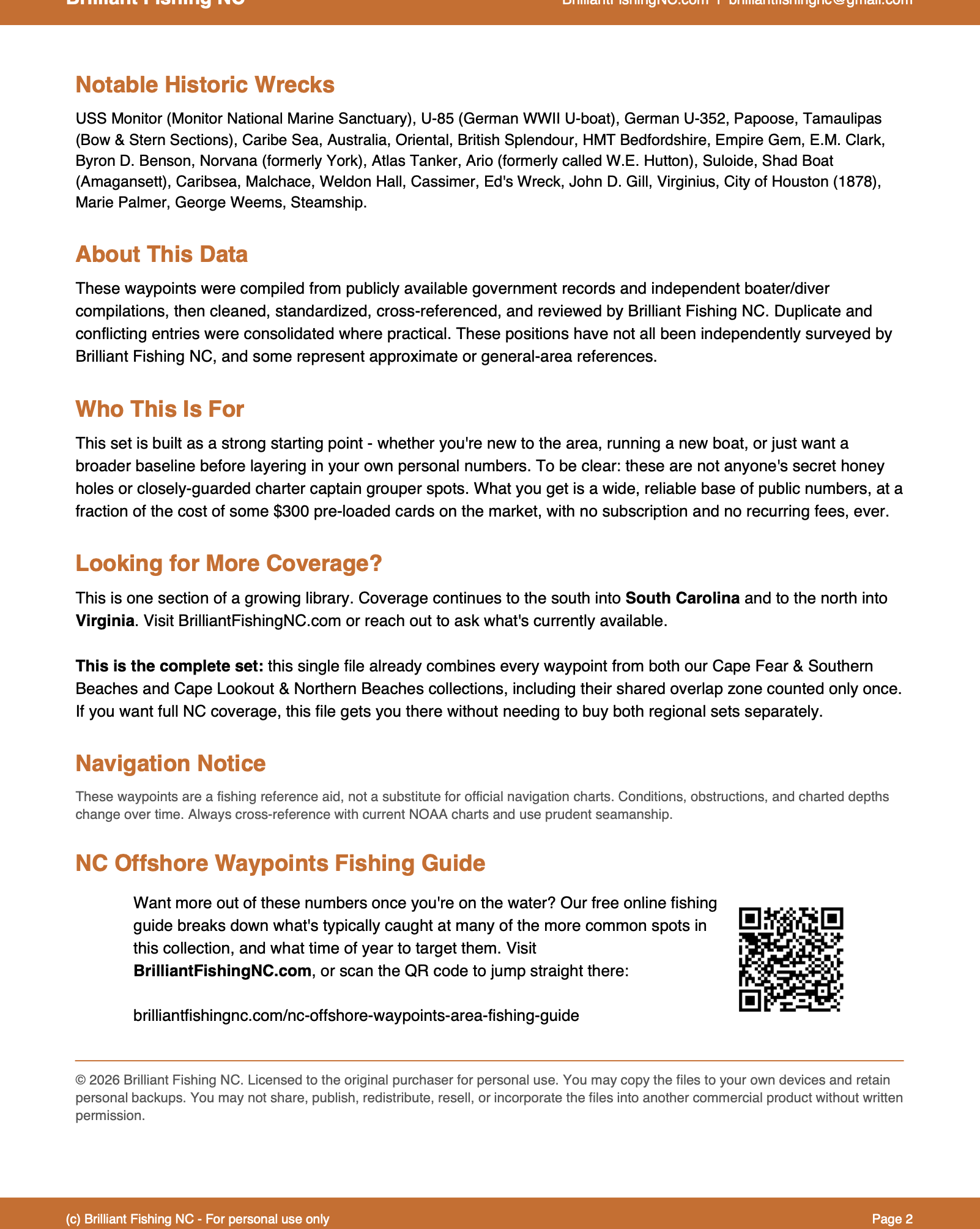
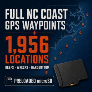
Spend less time searching and more time fishing with 1,956 curated offshore GPS waypoints covering the North Carolina coast, from the South Carolina border to the Virginia line. Includes wrecks and reported wreck sites, artificial reefs, rocks, ledges, hardbottom, obstructions, and other potentially fish-holding structure.
Instant digital delivery with GPX, KMZ, and CSV files for chartplotter use and trip planning.
COVERAGE OVERVIEW
This collection covers the North Carolina coast from the South Carolina border to the Virginia line, including areas such as Sunset Beach, Ocean Isle Beach, Holden Beach, Southport, Oak Island, Wrightsville Beach, Carolina Beach, Kure Beach, Surf City, Topsail, Emerald Isle, Cape Lookout, Ocracoke, Hatteras, Oregon Inlet, and everywhere in between.
TYPES OF LOCATIONS INCLUDED
- Wrecks and reported wreck sites
- Artificial reefs and reef components
- Rocks, ledges, and hardbottom
- Live-bottom and mixed-bottom areas
- Other potentially fish-holding structure
COMPILATION AND CLEANUP
The data was compiled and cross-referenced using multiple public, historical, and independently available sources. The collection was reviewed for obvious errors, duplicate locations, inconsistent names, and questionable coordinates. Obvious duplicate and near-duplicate locations have been reduced, and names and categories have been standardized where possible.
This is not a bulk dump of every coordinate we could find. It is a curated working collection intended to give offshore anglers a broad, organized starting point for researching and fishing the North Carolina coast.
YOUR DOWNLOAD INCLUDES
- GPX waypoint file for compatible marine chartplotters
- KMZ file for viewing and planning trips in Google Earth
- CSV file for spreadsheet reference
- Digital waypoint-loading instructions
- Coverage and product-information guide
The amount of descriptive information varies by location; every waypoint includes GPS coordinates and a name, and most include a structure or location category, with additional descriptive detail where available.
CHARTPLOTTER COMPATIBILITY
The included GPX file is compatible with many Garmin, Lowrance, Simrad, Furuno, and newer Humminbird chartplotters. File compatibility, waypoint capacity, and import procedures vary by model, so please confirm your unit’s requirements before purchasing.
Many Humminbird HELIX and older Humminbird models use HWR files rather than GPX files. If you have a Helix unit or aren’t sure which format your unit requires, contact Brilliant Fishing NC before purchasing — HWR files can be produced on request.
A computer, compatible memory card, and card reader may be required to transfer the files to a chartplotter. These items are not included. This collection is our largest, so please confirm your chartplotter has sufficient waypoint capacity before purchasing — this is especially important for older units.
DIGITAL DELIVERY
This listing is for an instant digital download. No physical memory card will be shipped. After purchase, download the files to a computer and transfer them to a compatible memory card for your chartplotter as needed. The included instructions explain the general loading process for the major marine-electronics brands.
REGIONAL COVERAGE NOTE
The Full North Carolina collection combines the Southern and Northern coverage areas into one coastwide set. Locations appearing in both regional collections are consolidated, so the Full North Carolina collection does not contain duplicate copies of the same waypoint.
WHY CHOOSE THIS COLLECTION?
If you fish more than one section of the North Carolina coast — or want the greatest number of options in one purchase — the Full North Carolina Coast collection offers the best overall value. It combines the Southern and Northern coverage areas into one organized, coastwide collection, with overlapping locations consolidated.
- 1,956 unique organized offshore locations
- Coastwide coverage from the SC line to the VA line
- Our most extensive North Carolina collection
- One consolidated file instead of purchasing two regional sets
- Multiple types of potentially fish-holding structure
- GPX, KMZ, and CSV formats
IMPORTANT INFORMATION
Waypoints represent reported, documented, or identified locations. Bottom conditions, wrecks, navigational hazards, and electronic-chart accuracy can change, and no location is guaranteed to hold fish. Always verify locations using current charts, your depth sounder, and safe boating practices. These files are fishing and trip-planning aids and are not a substitute for proper navigation.
LICENSE
Purchase grants the original buyer a personal-use license. The files may not be shared, copied for others, posted online, resold, repackaged, or commercially redistributed.
© 2026 Brilliant Fishing NC. All rights reserved.
Reviews
There are no reviews yet.