

Description
Spend less time hunting through scattered lists and maps and more time planning your next trip.
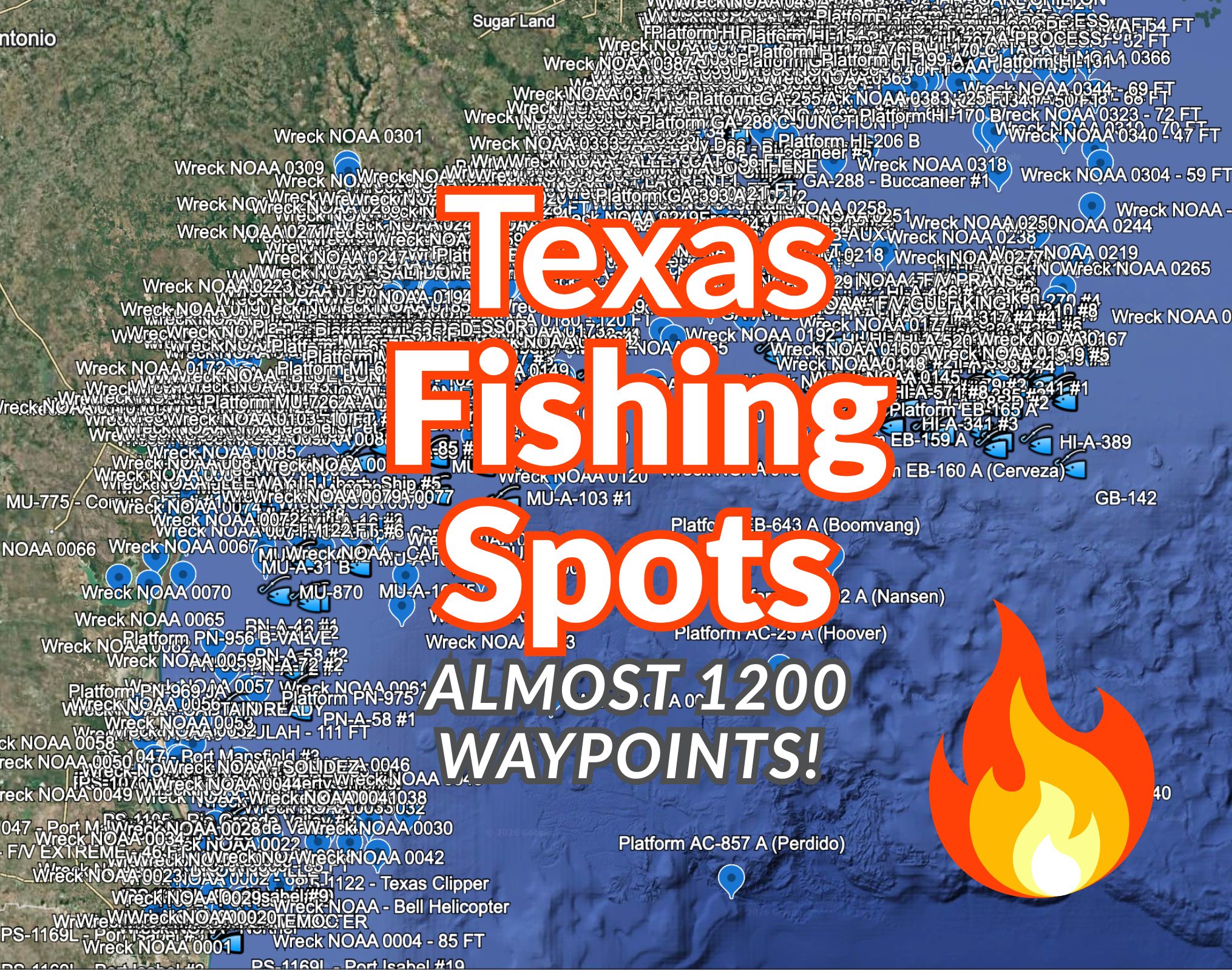
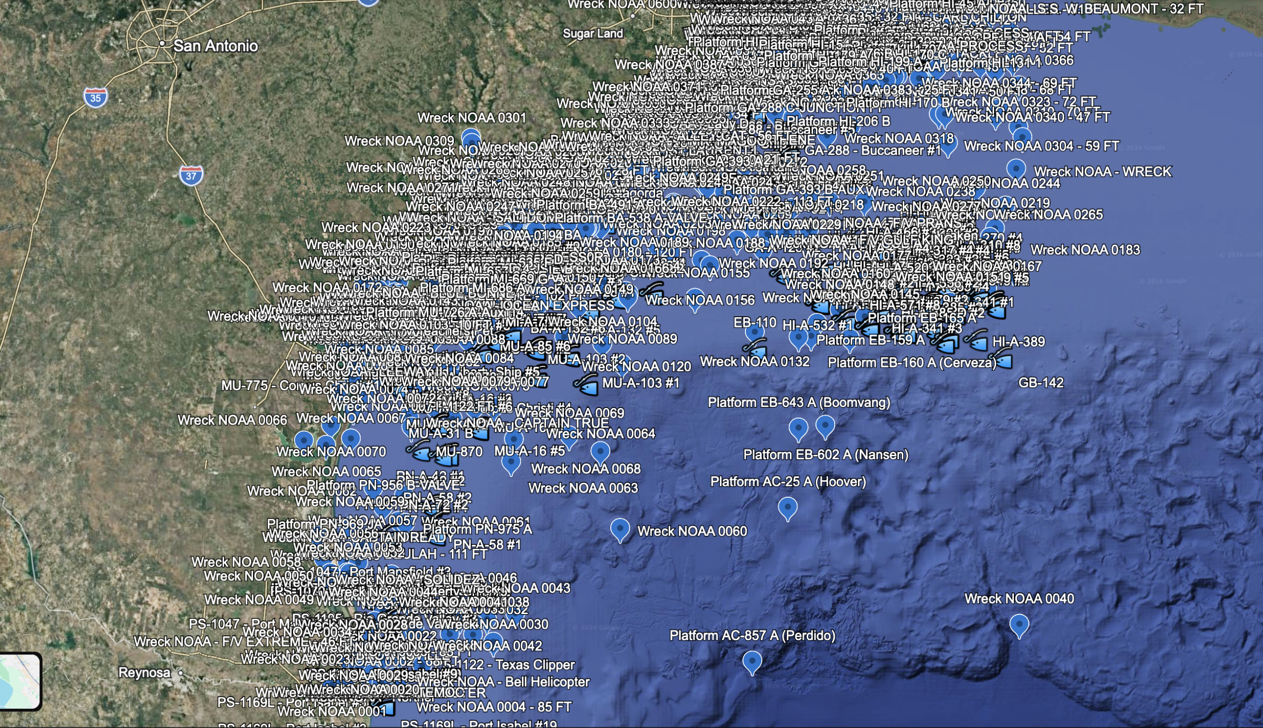
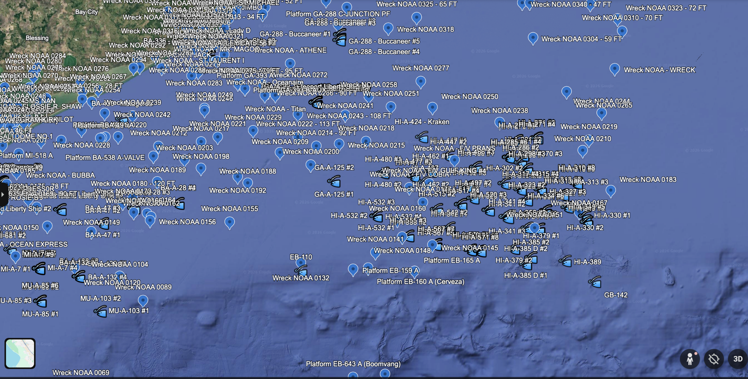
This Texas saltwater GPS package includes 1,199 unique waypoint locations organized into three useful categories:
- 402 artificial reef and reef-material placements
- 713 submerged wreck locations
- 84 offshore platform locations
Coverage extends along the Texas Gulf Coast, including waters associated with South Padre and Port Isabel, Port Mansfield, Port Aransas and Corpus Christi, Port O’Connor, Matagorda, Freeport, Galveston, Sabine Pass, and offshore Gulf areas.
What is included
- GPX file for compatible chartplotters and GPS units
- KMZ file for Google Earth and compatible mapping programs
- CSV file for viewing, sorting, or converting the coordinates
- Clearly organized artificial reef, wreck, and offshore platform categories
Types of locations
The set includes named artificial reefs, reef-material placements, reefed vessels and petroleum structures, culverts, pyramids, concrete and prefabricated reef materials, charted submerged wrecks, and offshore platform locations.
Compatibility
GPX files work with many Garmin, Lowrance, Simrad, Furuno, and newer Humminbird units. KMZ files can be opened in Google Earth. Customers should confirm the accepted file format and waypoint capacity of their specific unit before importing.
Important information
This is a one-time purchase, not a subscription.
Freshwater fishing spots are not included in this package. This is the Texas saltwater and offshore set only.
These are publicly documented fishing and marine-structure locations that have been collected, cleaned, organized, and converted into practical waypoint files. They are not private or exclusive “secret honey holes,” and fish are never guaranteed at any coordinate.
Wreck positions can vary in accuracy, and platform status, access conditions, and safety zones can change. Always verify locations with current charts, sonar, regulations, notices, weather, and on-the-water conditions.
This product is intended for fishing reference and trip planning. It is not a navigation safety product and should not replace official charts or prudent seamanship.
Personal Use Only
This GPS waypoint package is licensed for personal, private use only by the original purchaser. The files, coordinates, waypoint names, descriptions, and related data may not be copied, reproduced, redistributed, resold, shared, uploaded, repackaged, or used for any commercial purpose without written permission.
Purchase of this product gives you the right to download and use the files on your own personal GPS/chartplotter devices and mapping software. It does not grant permission to distribute the files or create derivative waypoint products, maps, databases, websites, apps, or other commercial materials from the data.
Reviews
There are no reviews yet.