
Description
Spend more time fishing and less time searching.
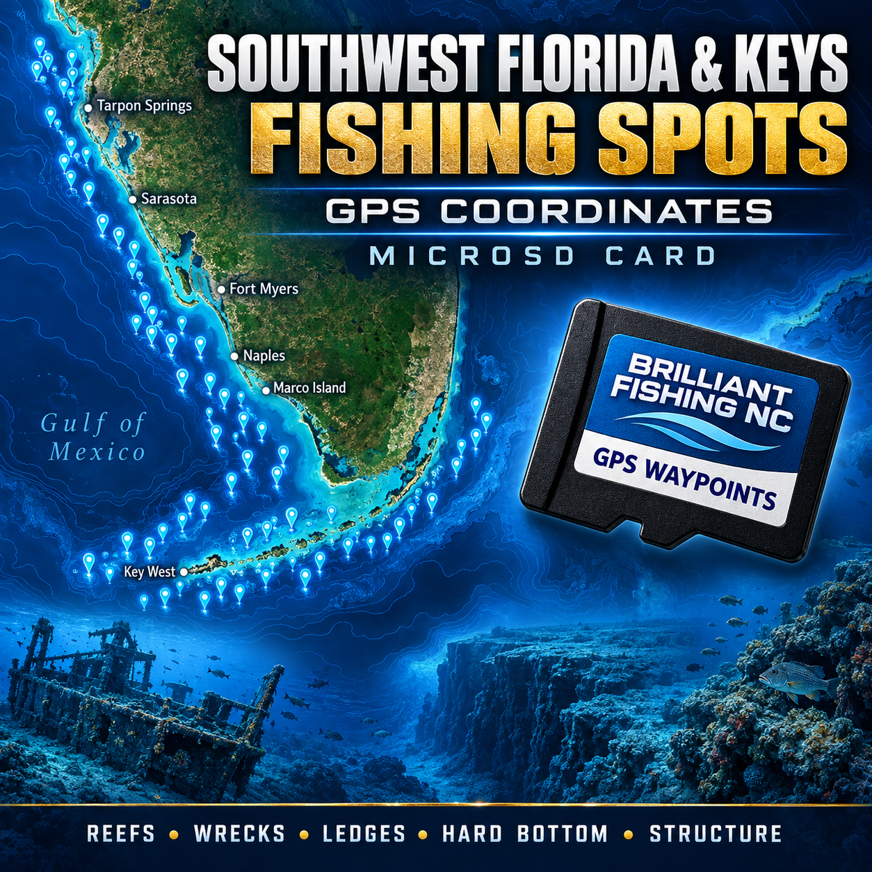
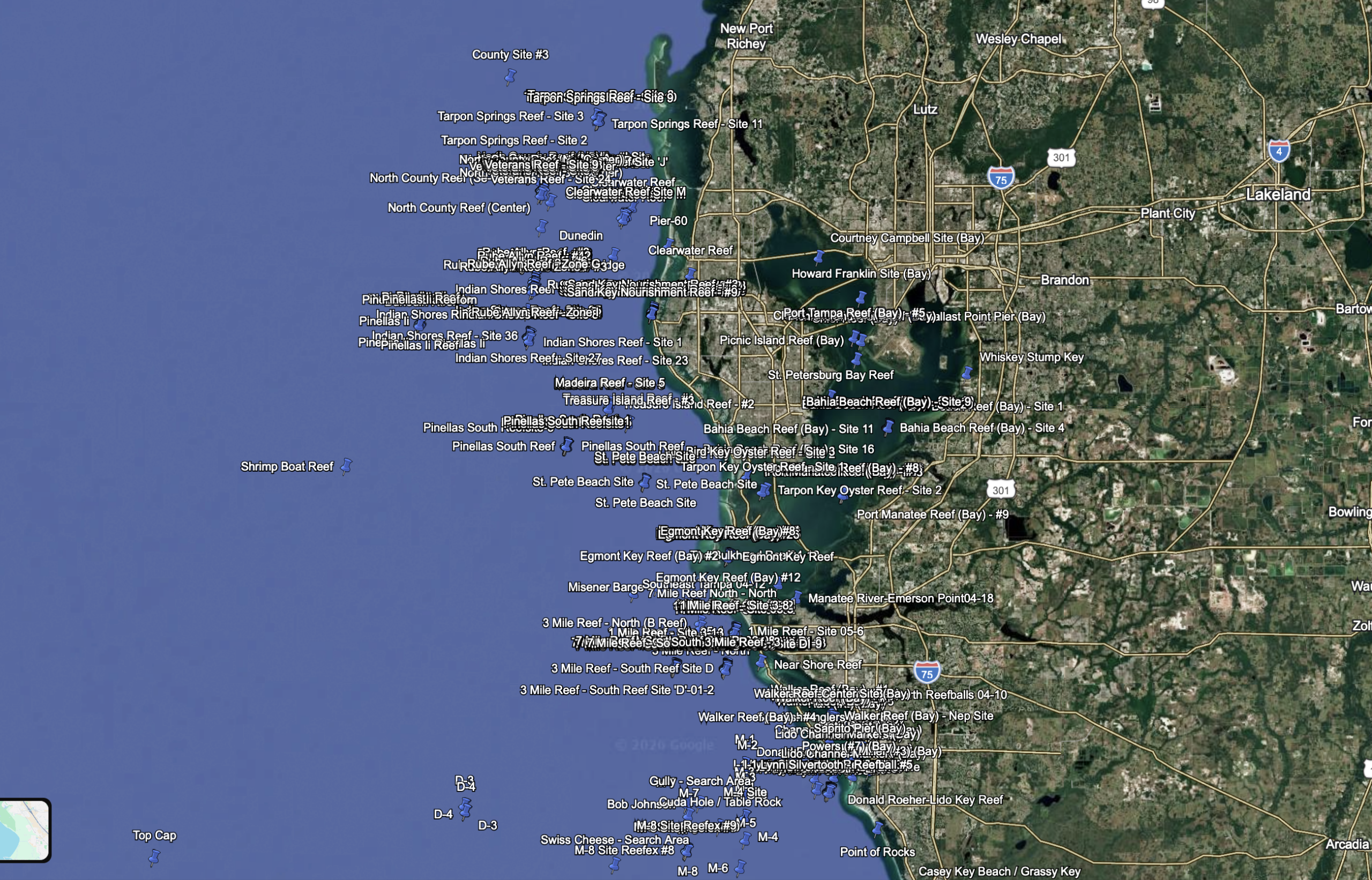
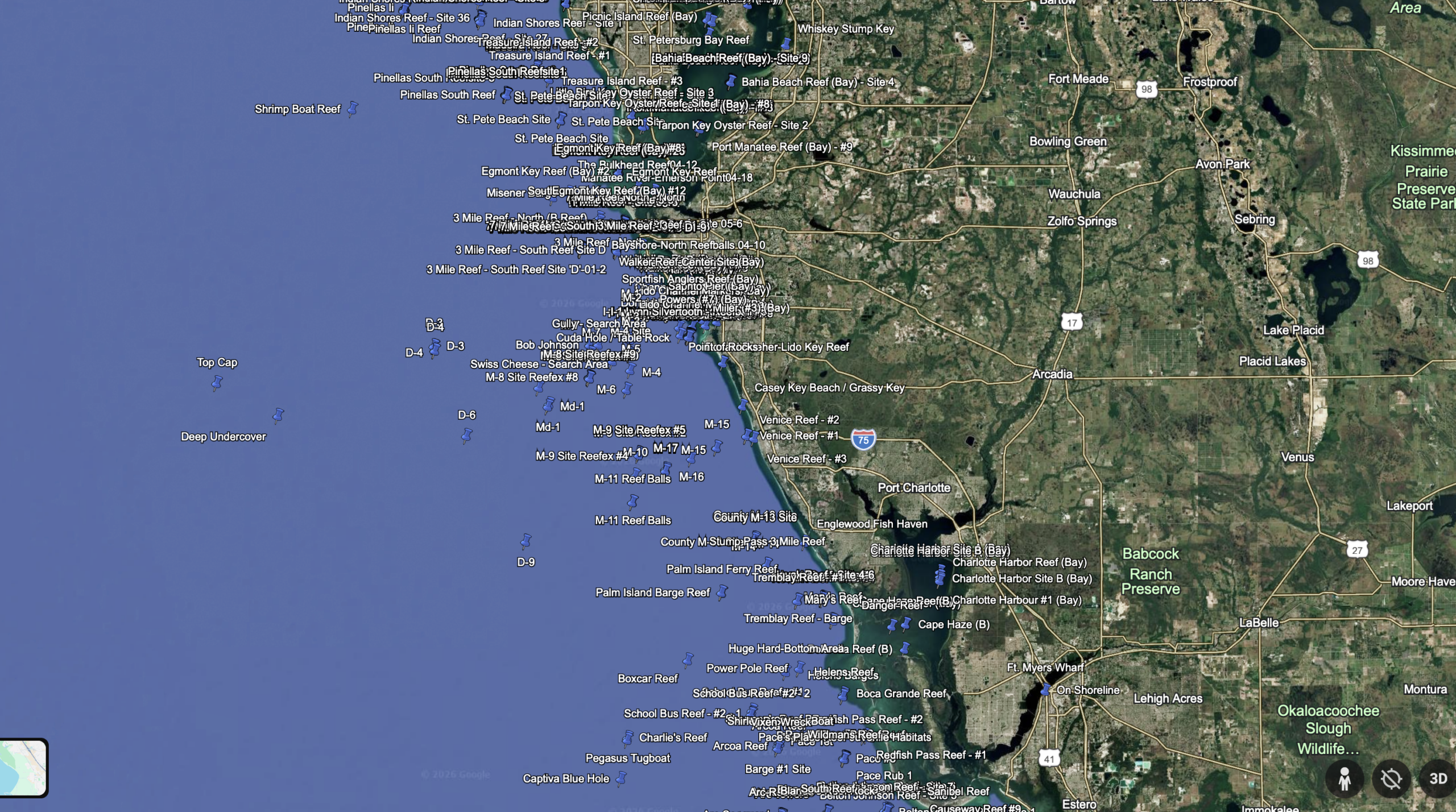
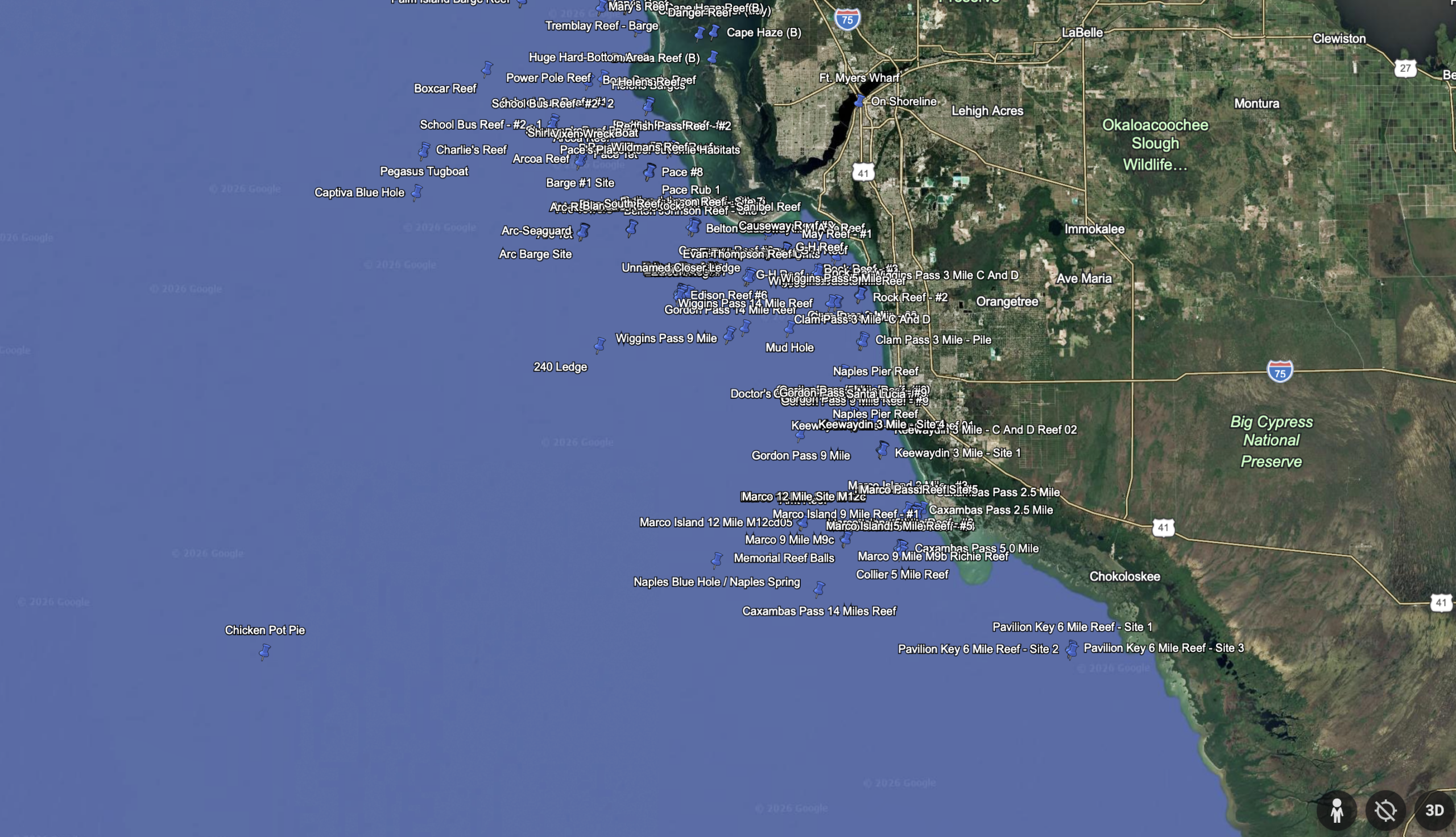
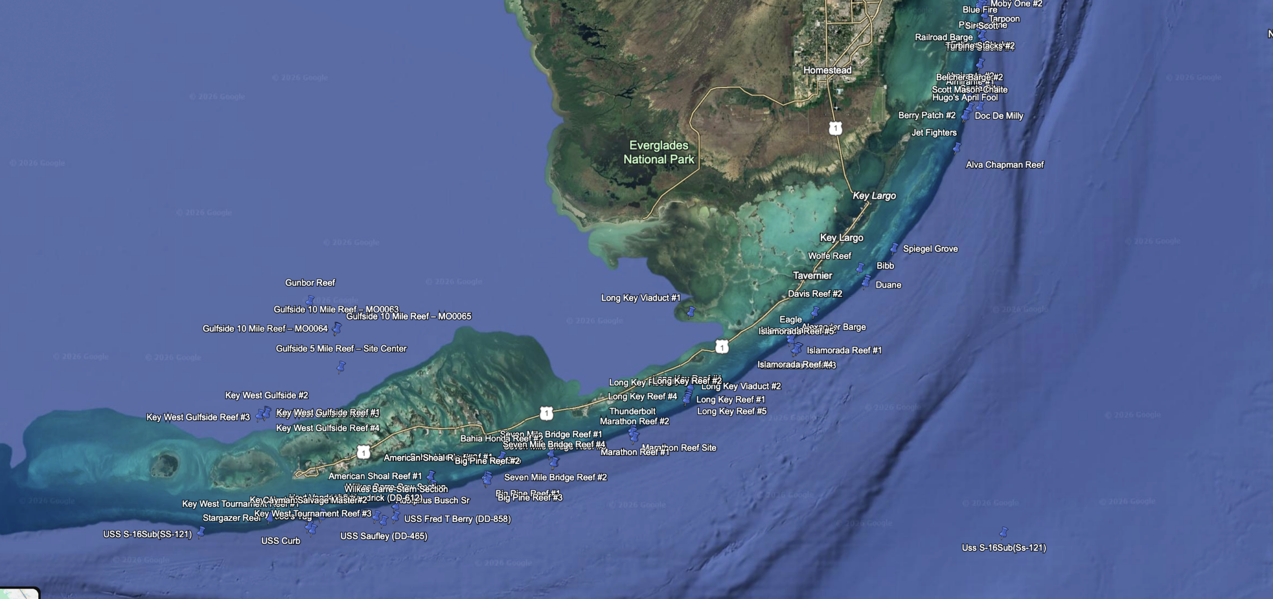
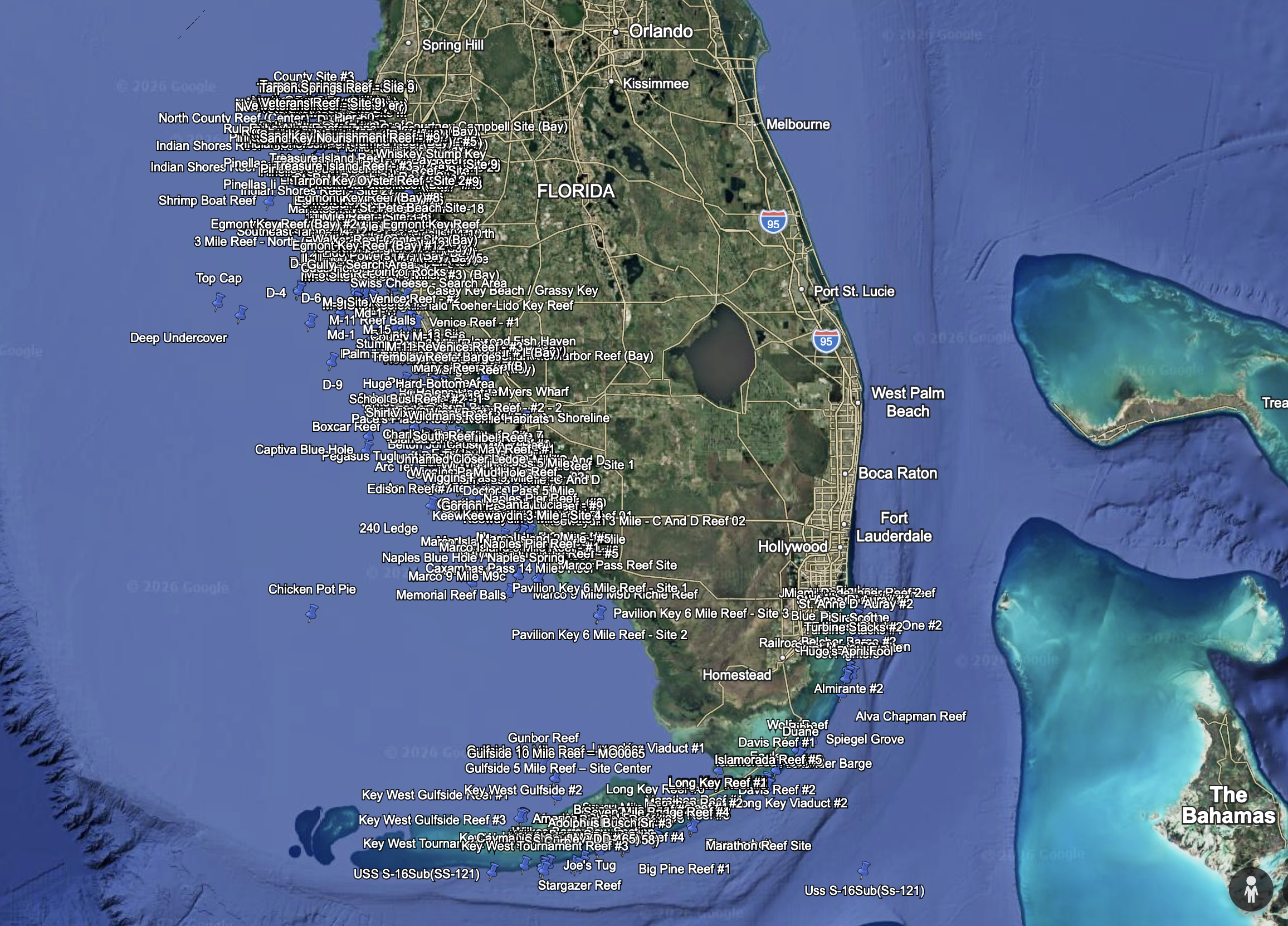
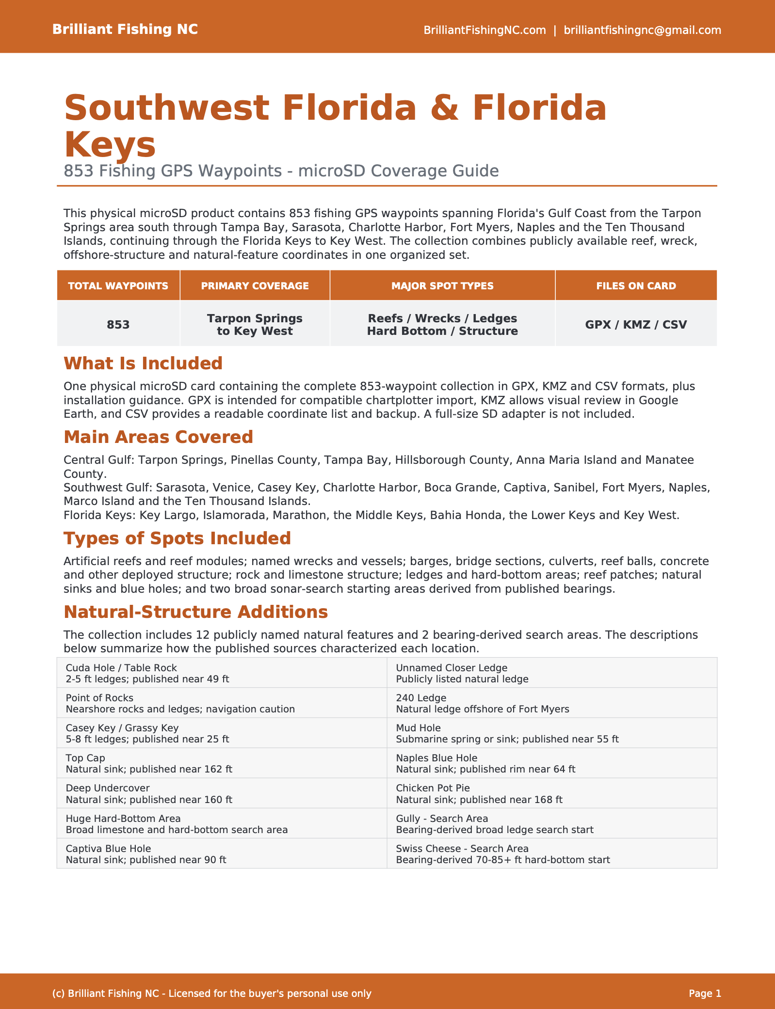
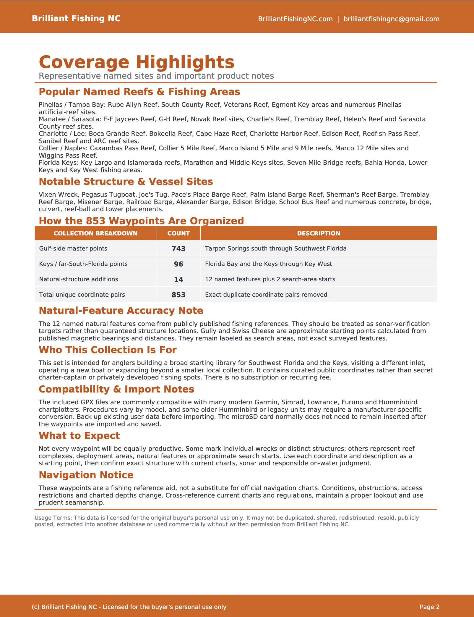
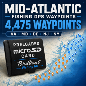
This physical microSD card contains 853 fishing GPS waypoints covering Florida’s Gulf Coast from Tarpon Springs through Southwest Florida and the Florida Keys to Key West.
The collection includes artificial reefs, wrecks, ledges, hard bottom, natural features and other offshore structure that may hold grouper, snapper, amberjack, kingfish and other popular Gulf and Keys species.
WHAT’S INCLUDED
• 853 fishing GPS waypoints
• One physical microSD card
• GPX files for compatible chartplotters
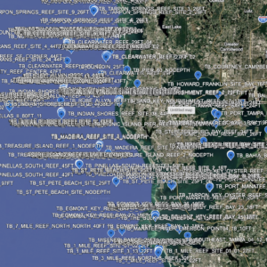
• KMZ file for reviewing the locations in Google Earth
• CSV coordinate file
• Installation instructions
• Organized waypoint names and descriptions
• One-time purchase with no subscription
NATURAL STRUCTURE INCLUDED
This collection includes 12 publicly documented natural features:
• Cuda Hole / Table Rock
• Point of Rocks
• Casey Key Beach / Grassy Key
• Top Cap
• Deep Undercover
• Southwest Florida Hard-Bottom Area
• Captiva Blue Hole
• Closer Natural Ledge
• 240 Ledge
• Mud Hole
• Naples Blue Hole / Naples Spring
• Chicken Pot Pie
The collection also includes two bearing-derived natural-structure search areas:
• Gully
• Swiss Cheese
Gully and Swiss Cheese are approximate search-starting points calculated from published bearings rather than exact surveyed waypoints. They are identified accordingly and should be explored and verified using sonar.
COVERAGE AREA
Coverage extends from the Tarpon Springs area southward along Florida’s Gulf Coast, including:
• Tarpon Springs and the central Gulf Coast
• Sarasota and Casey Key
• Charlotte Harbor and Boca Grande
• Captiva and Sanibel
• Fort Myers
• Naples and Marco Island
• Southwest Florida offshore waters
• Florida Bay
• The Florida Keys
• Key West and surrounding waters
CHARTPLOTTER COMPATIBILITY
Compatible with most modern chartplotters capable of importing standard waypoint files, including many models from:
• Garmin
• Simrad
• Lowrance
• Furuno
• Humminbird
• Other compatible marine GPS units
Please verify that your specific chartplotter can import waypoint data from a microSD card before ordering. Some older Humminbird units may require waypoint conversion using HumminbirdPC.
This product includes a microSD card only. A full-size SD-card adapter is not included. If your chartplotter has a standard-size SD slot, you will need a compatible microSD-to-SD adapter.
Once the waypoints have been successfully imported and saved to your chartplotter, the microSD card normally does not need to remain inserted.
IMPORTANT INFORMATION
These coordinates are intended to help anglers identify potentially productive fishing areas. A waypoint does not guarantee fish, navigational safety or a particular bottom condition.
Natural bottom, wrecks, reefs and other underwater features can change, become covered or deteriorate over time. Always examine an area with your chartplotter and sonar before fishing it.
Use current nautical charts, marine electronics and safe-navigation practices at all times. These files are supplemental fishing information and are not a replacement for official navigational charts.
LICENSE AND PERMITTED USE
Your purchase provides a personal-use license for the original buyer.
The files and coordinates may not be copied, shared, published, resold, uploaded for public access or distributed commercially. Purchase does not transfer ownership or reproduction rights.
Please contact Brilliant Fishing NC before ordering if you have questions about compatibility with your chartplotter.
Reviews
There are no reviews yet.